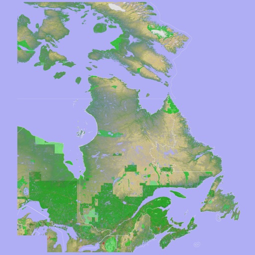
Scenic Map Eastern Canada
Mark Granger
3D topographic map of Eastern Canada
The app presents a 3D topographic map of Eastern Canada. Users can download map data for use without an internet connection, suitable for various travel methods.

Showing 821–840 of 1,000 ranked alternatives.
Mark Granger
3D topographic map of Eastern Canada
The app presents a 3D topographic map of Eastern Canada. Users can download map data for use without an internet connection, suitable for various travel methods.


3CODES
Aircraft fuel management in real-time.
The app provides real-time fuel management for aircraft. It allows for total control of aircraft fuel by setting a maximum fuel quantity and for each tank.

Colin Porteous
Plan routes with waypoints and calculate true
Create passage plans by selecting waypoints from a database. Calculate true course and distance. Automatically determine magnetic variation and derive magnetic heading.





Digilog Corporation
Measure distances, remember locations, get headings.
The app measures distances, remembers locations, and provides magnetic headings between selected points. It displays coordinates in decimal degrees and degree minute second formats, and allows users to save locations with custom names.


Apps are ranked by functional similarity, category fit, rating confidence, and popularity.