

Apps Like Coverage? for iPhone and iPad
Compare coverage maps and track signal strength
Overlay cellular carrier coverage maps to compare signal strength across the USA and Canada. Search for coverage in specific areas, save maps for future reference, and plan trips based on signal availability.
Coverage? screenshots
Ranked alternatives
Showing 481–500 of 1,000 ranked alternatives.


Whistler Area Ski Maps
Ryan Robertson
Navigate trails with topographic
View topographic and thematic of ski areas including Blackcomb and Olympic Park. Access trail descriptions and elevation profiles. Use location features to see current position on .
Large Maps
Corporate Smalltalk Consulting Ltd
View and scroll PDF effortlessly
View and scroll PDF up to 110 inches wide. Zoom in for detailed terrain features. Navigate with on-screen markers and scale adjustments. Save edited map sections as new files. Share map views via email or messaging apps.




Austrian Map Mobile
Garzotto GmbH
Digital maps of Austria with features.
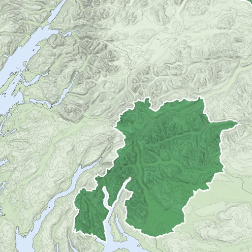
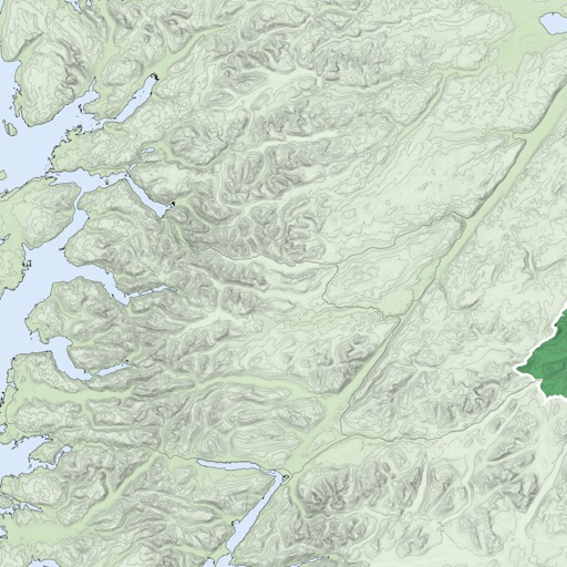
The app provides digital maps of Austria with hill shading and object names. It includes topographic maps and offers functions like searching by name or coordinates, GPS features, and measuring distances.

Yonderlust
MOXY Outdoors, LLC
Explore routes and download maps
Access real-time maps and local content for self-guided adventures. View checklists, safety tips, and points of interest. Navigate offline with detailed route guidance and track progress toward destinations.

MapTrace+
Nasir Jeevanjee
Track terrain and analyze coordinates
Trace paths on maps to analyze elevation, distance, gradient, and bearing. View elevation and grade profiles of traced routes. Calculate area of arbitrary paths. Use satellite or default map views for terrain study.
How we rank alternatives
Apps are ranked by functional similarity, category fit, rating confidence, and popularity.