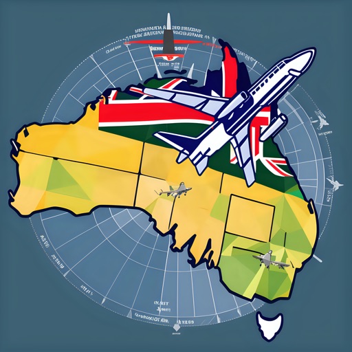
The app supports glider pilots during competitions, cross-country flights, or recreational flights. It offers features like a final glide calculator, terrain map, and airspace warnings.
Track flight paths and waypoints. Display real-time GPS data and altitude. Set navigation targets and receive turn-by-turn guidance. Monitor weather conditions and air traffic. Save and share flight logs. Sync with external devices for telemetry.
The app displays aviation weather observations and forecasts using a maps-based interface. Users can view METARs and TAFs in coded or translated formats, with color-coded pins indicating forecast or observation availability.
Navigate using and compass to locate targets. View a smart arrow indicating direction to the target. Display speed, altitude, and distance to the target. Includes a built-in compass for orientation.
Provides maps for navigation without internet connection. Displays detailed vector maps with continuous updates. Helps avoid roaming charges by using local data. Allows zooming at any level for precise location tracking.
Displays device location as a plane with speed, direction, altitude, and geo data. Allows adding markers at specified distances or times along the flight path. Tracks movement on the map.
The app provides a database of over 26,000 global airports, heliports, and other landing facilities. It offers detailed information, maps, and directions to the nearest available locations.