The app converts between Decimal Degrees and Degrees/Minutes/Seconds notation. It allows viewing converted coordinates in Maps or sending them to GPS Log.
by Geospike Pty Ltd★ 3.628 ratingsNavigationFreeData updated 2026-09-15
GPS UTM displays precise UTM grid references with 1 metre, 10 metre, and 100 metre formats. Locate position on topographic maps using global datums like ED50. Share coordinates with other apps or users.
Convert image files to JPEG or PNG formats. Load images from device storage. Support HEIC, JPEG, PNG, GIF, BMP, TIFF, and TGA formats. Save converted images to the Photos in a "JPG PNG" album. Adjust image quality settings before conversion.
Perform basic and advanced calculations including addition, subtraction, multiplication, division, and exponents. Convert units between degrees, radians, and grads. Switch between standard and scientific modes.
Access courses from 600+ top universities. Earn accredited degrees and certifications. Track academic progress and job placement opportunities. Manage learning schedules and review course materials. Submit assignments and receive feedback.
Convert units across categories like length, area, and temperature. Perform simultaneous conversions and customize preferences. Copy converted values to the clipboard for quick use.
Convert video files to MP3 and other audio formats. Extract audio from local and online videos. Edit audio by cutting, splicing, and adjusting balance. Remove vocals to create accompaniment. Set converted files as ringtones.
Convert units between metric and imperial systems including area, distance, speed, temperature, volume, time, weight, energy, and power. Calculate area, speed, distance, and volume with supported units. Switch between units quickly and accurately.
Convert decimal numbers to and vice versa. Paste numbers for input, copy results. Switch modes with a tap. Does not support negative numbers or Two's Complement. Large numbers may cause errors.
Track routes for hiking, running, cycling, and other activities with GPS. View recorded paths on maps. Save favorite locations for quick access. Measure distance, speed, and elevation. Export data in various formats.
View and edit custom maps, manage geographic data, and perform measurements. Support offline map downloads, track locations, record photos and videos, and share memories. Includes tools for surveying, cartography, and planning trips.
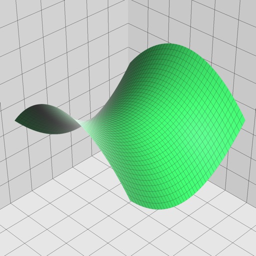
Enter and edit equations in mathematical notation. Visualize 2D and 3D graphs of explicit, implicit, and inequality equations. Adjust settings for display and analysis. Save and share calculations.
A and unit/currency with a clean interface. Convert between 500 units across 29 categories and 161 currencies. Customize colors and display selected units. Enter values to instantly convert between units.
View global weather data with interactive map panning and zooming. Switch between weather layers for current and forecasted conditions. Track detailed weather changes up to 0.25 degrees on land or sea.
Find latitude and longitude coordinates of your current location in decimal degrees and degrees-minutes-seconds. Tap coordinates to copy to clipboard. Save coordinates with a custom name. Share coordinates via email or messaging.