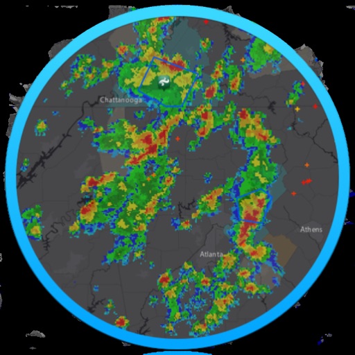
The app provides real-time river data including height, discharge, and temperature from USGS gauges nationwide. Users can view historical trends, save selected locations, and monitor flood-stage information for recreation and property awareness.
by Brian Deshong★ 4.7305 ratingsWeatherFreeData updated 2026-09-15
Capture inspection data in real time using photo and video documentation. Log compliance issues and damages during visits. Sync reports to central systems for follow-up workflows and resident communication.
Identify species by scanning photos. View detailed information about habitats, behaviors, and diets. Explore species profiles with images and descriptions. Save favorite species and track identification history.