The app converts British National Grid References to Latitude, Longitude coordinates. It displays converted coordinates in the Maps app or sends them to GPS Log.
by Geospike Pty Ltd★ 5.01 ratingsNavigationFreeData updated 2026-09-15
Sends GPS coordinates, speed, course, and heading via WiFi, Bluetooth, or USB using 0183 protocol. Transmits data at set intervals. Automatically reconnects after disconnection. Displays last sent coordinates.
Track location and navigate back to a marked waypoint using directional guidance. Measure distance to the waypoint in meters. Save multiple waypoints for future reference. Share coordinates with others for group navigation.
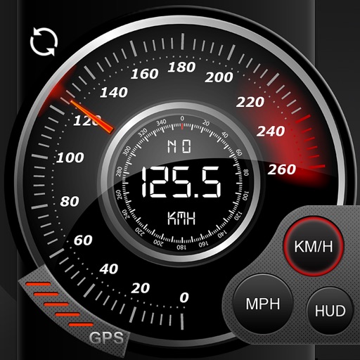
Record data including , average , distance, altitude, and elapsed time. View real-time GPS tracking with longitude and latitude. Monitor statistics and save history. Sync with devices for offline navigation.
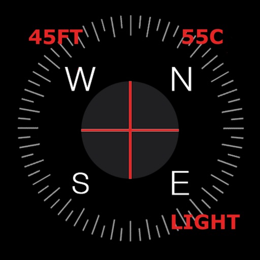
Navigation displays a compass with arrows indicating directions to stored locations. Users can view coordinates and distances to these places. Record routes for later reference or to retrace steps.
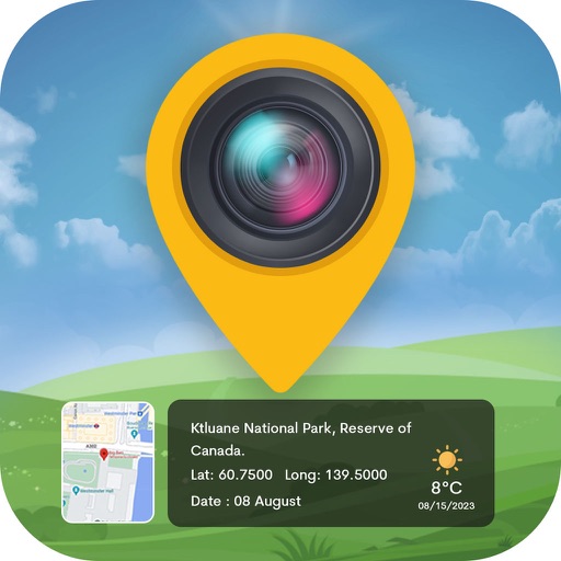
Track displays current position, longitude, latitude, altitude, air pressure, magnetic field strength, and speed. Includes real-time positioning and map functionality. Offers 360° rotating styles for direction identification.
Locate global positions using Base 32 GL codes. Input 2-10 digits to identify states, cities, street blocks, houses, or individuals. Coordinates are derived from longitude and latitude mappings.