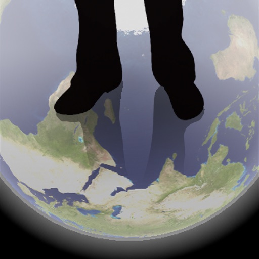
The app shows a transparent view of the earth, allowing users to see the other side of the world beneath their feet. It displays the positions of major cities on a reversed blue marble through a camera overlay view.
The app displays airport information including distance, field elevation, and required descent rate. It shows the user's current speed, course, altitude, and vertical speed, updating all data in real time.
Track precise location with Decimal Degrees, DMS, UTM, and MGRS formats. Access topographic maps and route planning. Set waypoints and measure distances. Share coordinates via email or messaging. Sync with GPS devices for real-time navigation.
Track altitude, atmospheric pressure, GPS coordinates, direction, speed, and air pressure in real-time. Share photos with altitude and location data on social networks.
Shows the direction to Mecca for prayer based on the user's location. It calculates the shortest great circle route and displays the distance in miles. Users can determine prayer direction and travel distance accurately.
Track flight altitude, speed, and heading in real time. Monitor waypoint progress and adjust flight path remotely. Control simulated flights via plugin integration. View navigation data wirelessly from a mobile device.
Navigation helps users locate nearby metro stations or vélib bike stations. Store current position for later return. Find restaurants, bars, or museums in the area. Determine direction and orientation. Identify landmarks and points of interest.
Measures altitude using barometric pressure. Adjust Kollsman setting for current barometer or set to 29.92 inches of mercury. Syncs with iPhone 6 and later models using Apple and Bosch sensors. Does not support older iPhone or iPad models.
Navigate with offline marine, lake, and outdoor maps. Access worldwide satellite and terrain overlays. View local weather forecasts. Use NOAA, USGS, and DRG data for detailed charting.
Navigate with marine and outdoor offline. Overlay satellite and terrain data on charts. Access local weather forecasts. View worldwide and satellite imagery when connected. Use NOAA raster data for detailed navigation.
The app provides worldwide marine, lake, and outdoor maps, satellite imagery, and terrain features. It offers local weather forecasts, tide data, and community information for boaters and fishermen.
View and navigate nautical charts for sailing, diving, and fishing. Plan routes and create waypoints. Share tracks with others. Subscribe for updated chart data. Access technical support via email.
The app displays real-time altitude in meters or feet using a GPS signal. It automatically detects the user's location and shows altitude, name, address, latitude, and longitude on a map.
The app provides professional marine navigation using S-57 chart data and Automatic Identification System (AIS). It offers features like positioning, chart visualization, and past track display for planning trips or navigating at sea.
Track with GPS-based real-time analytics. View current , historical data, and location markers. Set limits and receive alerts when exceeded. Export data for review and share results.