Track speed, average speed, maximum speed, and directional speed. Measure velocity made good and wind speed. Calculate the Pilot Performance Index to assess flight performance. Compare results with others or against autopilot settings.
Navigation allows users to save locations using the red cross on a map. Users can retrieve saved locations by following a red arrow in Augmented Reality.
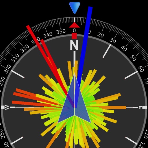
Provides real-time device orientation based on magnetic fields. Allows switching between true and magnetic north. Displays compass direction and azimuth. Includes declination information. Offers tilt sensitivity settings.
Navigation allows users to locate nearby metro stations or points of interest. Store current position for later reference. Find restaurants, bars, or museums in the area. Determine direction and heading for navigation.
Create passage plans by selecting waypoints from a database. Calculate true course and distance. Automatically determine magnetic variation and derive magnetic heading.