The app sends the user's location to a specified server and script. It supports background updating and detects significant location changes when closed or in the background.
by Jouni Erola★ 3.65 ratingsNavigation$0.99Data updated 2026-09-14
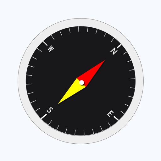
The app provides location information, including address and coordinates, with a compass and map view. It also features a seismometer to alert users of earthquakes and allows sharing of precise locations via email or message.
Displays real-time location and current /sector boundaries. Shows crime/incident data and sector maps. Includes satellite and street view layers. Provides quick access to contact info and navigation tools.
Tracks location, speed, altitude, heading, acceleration, g-force, and atmospheric pressure. Retrieves and displays current weather data. Records tracks up to 10 minutes or 10 kilometers. Plays back tracks at multiple speeds.
Sends GPS coordinates, speed, course, and heading via WiFi, Bluetooth, or USB using 0183 protocol. Transmits data at set intervals. Automatically reconnects after disconnection. Displays last sent coordinates.
Get current coordinates in latitude/longitude and MGRS format along with altitude, course, and speed. Toggle features on or off to customize the interface. View accurate location data for navigation purposes.
Display current location and customizable info on large text screens. Create waypoints using location, crosshairs, or coordinates. Organize waypoints into overlays and navigate to them with arrows or maps. Track movement and view location details.
Track location data using GPS and other methods. Store data in iCloud for access via the website. View heatmap visuals of traveled areas. No data stored on developer servers. Background location requires permission.
The app allows users to create and edit information in OpenStreetMap. Users can add points of interest, streets, paths, buildings, and bodies of water, with full undo/redo support and offline capabilities.
Tracks location, speed, altitude, heading, acceleration, g-force, and atmospheric pressure. Displays and records current weather. Plays back tracks at multiple speeds. Provides suggested routes for reference. Allows pausing and resuming tracking.
Create ice pops by customizing flavors and decorations. Add chocolate coatings, candy sprinkles, and funny face stickers. Save and share creations. Play with interactive elements and unlock new items through in- purchases.
Track driving costs in real-time by entering fuel price and efficiency. Split trip expenses with passengers. Record trips for review or sharing. Monitor speed with visual and sound alerts when exceeding preset limits.
Perform backflips over rooftops, parks, speeding cars, moving elevators, and airplanes. Customize physics settings and adjust ragdoll animations. Track progress and unlock new levels and characters. Share scores and compete with others online.
The app displays current heading, course, speed, coordinates, and altitude. It offers street, topographic, and aerial maps, with cached maps available for a day.
The app is a strategy adventure set in a zombie apocalypse. Players recruit mutants, build and defend a homeland, and train troops to fight zombies and other players.
Location with latitude, longitude, and elevation. Use compass and speedometer for navigation. paths and share data or current location with friends. View battery and pressure readings. Support 3D touch for iPhone6 and iPhone6 Plus.
The app allows users to play correspondence chess with friends or other players. Users can create multiple games, chat in-game, and receive notifications for moves.