Calculate flight performance with wind and density altitude inputs. Perform fuel burn calculations and determine true airspeed. Convert units and view flight path diagrams. Save and share flight plans.
by Lonnie Ganz★ 4.717 ratingsNavigation$9.99Data updated 2026-10-04
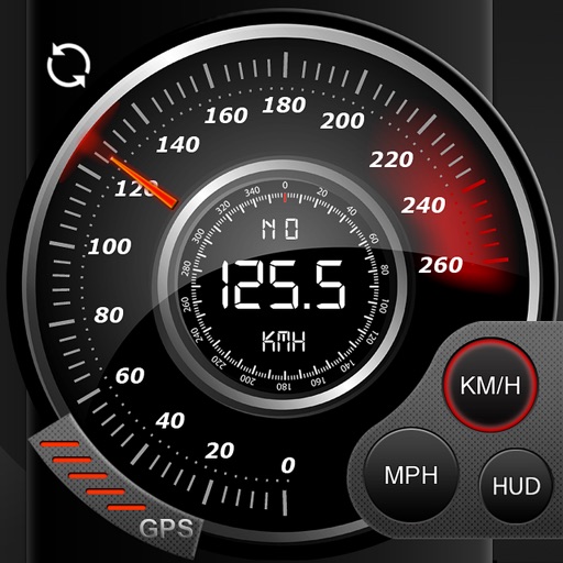
Record data including , average , distance, altitude, and elapsed time. View real-time GPS tracking with longitude and latitude. Monitor statistics and save history. Sync with devices for offline navigation.
Track altitude with real-time measurements. Use a sensitive compass for accurate direction. Capture latitude and longitude data via camera. Monitor atmospheric pressure and magnetic field readings. Check real-time location data and sync with maps.