Calculate flight performance with wind and density altitude inputs. Perform fuel burn calculations and determine true airspeed. Convert units and view flight path diagrams. Save and share flight plans.
by Lonnie Ganz★ 4.717 ratingsNavigation$9.99Data updated 2026-10-04
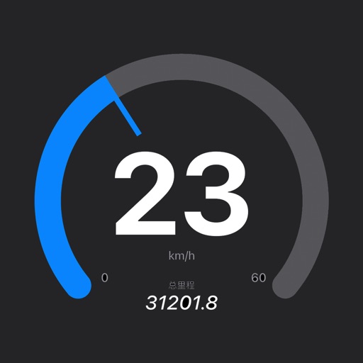
Displays real-time , average , and maximum with unit options. Provides sensor data for weather, altitude, and device orientation. Offers customizable dashboards and waveform charts. Allows saving and exporting historical data in CSV format.
Calculate time, speed, and distance with interactive charts. Input variables to solve equations. Convert units and view results instantly. Share solutions and save calculation history. Sync with charts for accurate route planning.
Calculate -adjusted playing distances by pointing the phone at the flag and entering the pin . Fetch real-time data including speed, direction, gusts, and temperature for accurate adjustments.
Track elevation and location using AI-powered and GPS. Access real-time weather forecasts based on barometric pressure. Use compass for direction and calculate sunrise/sunset times. View POIs and integrate with AI chatbot for contextual information.
Capture photos with integrated map data and weather information. Adjust settings including grid, aspect ratio, and manual map options. Edit images with map overlays and share directly.
Locate and start charging sessions at chargers. Filter between aircraft and ground networks. Monitor charge progress in real time. Stop charging sessions remotely.