Explore 3D flag models and view corresponding capital cities on interactive maps. Check distances between locations. Access Wikipedia information with a tap.
by xcentric systems★ 4.018 ratingsEducationFreeData updated 2026-09-08
Explore locations globally with interactive maps and distance indicators. Tap to learn about destinations, view details, and save favorites for future travel planning. Virtually "fly" to and compare distances from your current location.
Explore historical maps of the western from 3000 BCE to 500 BCE. Zoom and pan across regions from the Mediterranean to India. Access pop-up info on countries, cities, battles, and roads. View yearly map changes.
Learn through interactive quizzes. Answer 10 questions by tapping locations on a map. Use the compass to locate answers. View correct answers via " " and score 10,000 points to complete the quiz.
The app presents a multistep thinking game where players unfold colored tiles to fill empty cells. It offers word-free problem solving suitable for all ages and graphs user progress.
The app presents a collection of over 250 high-definition flags with detailed explanations of their meanings. It includes 267 world entities and offers offline content for learning about global flags.
Explore cities with augmented reality navigation and offline maps of , El Tigre, and Colonia, Uruguay. View interactive points of interest including transport, dining, and attractions.
Explore the periodic table with interactive 3D models of each element. Tap to view detailed descriptions, atomic structure, and properties. Learn how combine to form compounds and everyday materials. Share element facts and images.
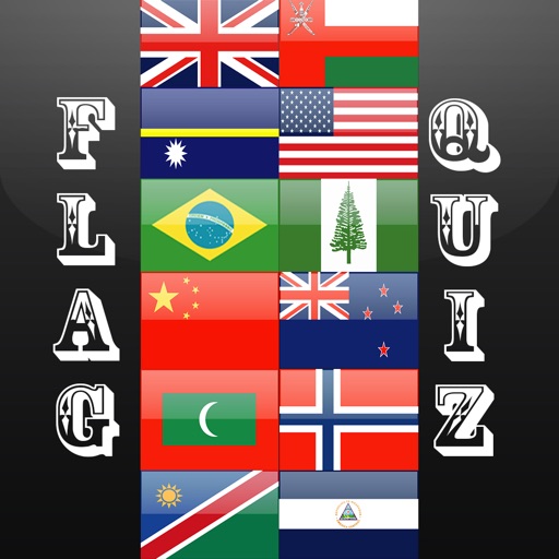
Test knowledge of world by selecting the correct flag for a given country from multiple choices. Play in two difficulty modes to challenge novices and experts.
The app offers a classic minesweeper experience with three difficulty levels: Beginner, Intermediate, and Expert. Players can use right-click to flag mines and double-click for most actions.
The app provides a personal tour guide experience by searching Wikipedia for nearby landmarks and displaying them on a map. Users can view detailed historical information, facts, and pictures for these locations.
Track and organize Wikipedia entries with queue mode. Add entries to a queue while browsing. Save entries for offline access or faster viewing. Download pages in the background while browsing. Sync entries across devices.
Test over 200 countries. Use Facebook to ask friends for help. Earn coins for hints or to skip questions. Track scores and compare others on Game Centre.