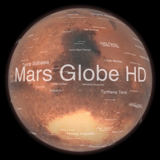
Explore with a high-resolution satellite map and topographic lighting. View over 1500 annotated surface features with detailed information and links. Navigate the virtual freely or follow a guided tour.
by Michael Howard★ 4.854 ratingsEducation$0.99Data updated 2026-09-08
Navigate a 2.5-mile historical tour with GPS-guided directions. Access a directory of 17 sites with links to additional information. Share locations via social media, SMS, or email.
Guess a randomly generated using lexical and deductive logic. Receive X's for correct letters in the right position and O's for correct letters in the wrong position. Choose from five difficulty levels based on length.
Explore with multilingual audio guides in Slovak, English, Polish, German, Hungarian, and Russian. Access 34 audio points with accompanying text, photos, and recordings. Follow a guided tour to learn about the history and key locations.
Access real-time space news and the Astronomy Picture of the Day. Explore NASA's database for research and mission details. View Mars imagery from NASA rovers and track the International Space Station's location.
Explore historical sites in with guided audio tours. Navigate 16 locations using GPS and maps. View photos and learn about each site's . Receive directions and interesting facts along the way.
Daylight tracking showing sunrise and sunset times globally. Users can view three visualization styles: Classic, Light, and Magic. Set reminders for daylight hours. Export data as calendar entries. Sync with other apps for schedule integration.
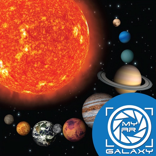
Explore the using augmented reality. Place AR cards to view 3D models of planets and moons. Rotate, zoom, and learn facts about celestial bodies. Share interactive experiences with others.
Explore wars and conflicts by time and location. View detailed information about combatants, commanders, and related locations. Filter events by region and period. Access in-depth topics and historical context.
View competition schedules and facility maps. Access real-time results and exclusive photos and videos. Navigate event locations and stay updated with event news. Connect directly to Tour for instant updates.
Explore maps with detailed satellite views, hiking trails, and topography. Navigate transport networks and view railway routes. Access terrain analysis and seas. Customize map layers for OpenStreetMap and tile-based maps.