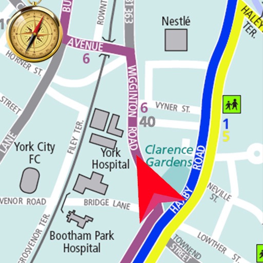
Plan routes online and send them to the with one click. View routes on a map with spoken navigation and visual arrows. Record trips and sync them with www..org. Track start and destination points for ideal connections.
by beemo GmbH★ 4.128 ratingsTravelFreeData updated 2026-09-08
The app records user routes with GPS, allowing users to relive journeys using maps, photos, and speed data. Users can view color-coded tracks by speed or elevation and browse photos taken along the route.
Plan trips by adding waypoints and viewing weather forecasts for each segment of the journey. See real-time weather updates, conditions, and adjust travel plans based on forecasted weather.
The app displays real-time shuttle bus locations and stop information for Wesleyan University. It features an interactive map showing shuttle routes and nearby stops, simplifying campus navigation.