

Apps Like FingerNavi for iPhone and iPad
Navigate with visual direction overlays
Displays a finger cursor indicating the direction to the destination. Users can view routes on street maps, satellite views, or hybrid maps. Maps can be oriented with North at the top or rotated to match the user's current direction.
FingerNavi screenshots
Ranked alternatives
Showing 21–40 of 1,000 ranked alternatives.

GPS Map Camera: Geo Photos
Chirag Gabani
Capture with GPS, date, time, and location
Add GPS data including date, time, latitude, longitude, altitude, weather, and compass to . Share geotagged images with friends to show travel locations. Track live location and embed it into captured .

Altimeter - Altitude & Compass
Enacti Ventures Private Limited
Track elevation, location, and weather
Track elevation and atmospheric pressure with and barometer. Use compass for direction based on satellite location. Access weather updates and speedometer. Log steps with pedometer. View maps and use binoculars for scouting.


MilGPS
Cascode Labs Pty Ltd
Navigate with MGRS coordinates and waypoints
Display current location and customizable info on large text screens. Create waypoints using location, crosshairs, or coordinates. Organize waypoints into overlays and navigate to them with arrows or maps. Track movement and view location details.

Map Coordinate
Xuan Luong Do
Find coordinates and get directions
Coordinates can be viewed and shared via decimal degrees, degrees-minute-seconds, degrees-minute-decimal, UTM, and military grid systems. Users can tap a map to retrieve coordinates and directions.

Qiblih
Eric Da Cunha
Face the direction accurately
Determine the direction for prayer using iPhone compass. Display angular difference as "Delta". Older devices require external compass for magnetic north alignment.

Altimeter GPS & Barometer
Aesthetic Apps & Widgets srl
Offline altitude and location tracking.
The app provides altitude readings using GPS, Aster, or barometric data. It functions offline for wilderness adventures and includes features like a speedometer, step counter, and flashlight.

Location Changer: Loc Saver
Yassir Hrout
Edit data and track coordinates
Save locations with exact GPS coordinates and altitude. View real-time weather and wind data. Use the compass for accurate direction tracking. Organize saved points and share coordinates directly.

Compass Map Barometer
SHIGETO TAKAGI
Navigate with magnetic or true north
A that displays magnetic and true north. Switch between modes. Rotate map for directional reference. Includes for altitude measurement on compatible devices.

IKabe
mahmut keygubatli
Direction to Kaaba and sun compass.
The app calculates the distance and direction to the Kaaba. It also shows the sun's direction and visibility, updating the sun position every minute.


Compass Heading- Magnetic Digital Direction Finder
Flamethrower plc
Navigate with and flashlight
Displays current with a large degree reading and a pointing arrow. Shows cardinal directions and a rotating rose. Includes a flashlight for low-light visibility. Provides accurate north orientation for land and marine navigation.

Compass Direction - Digital
Rihab Mehboob
Navigate with real-time GPS map
View real-time GPS maps and switch between map and views by holding the device. Track heading, , altitude, latitude, longitude, speed, and temperature. Use a for accurate navigation and monitor speedometer and temperature readings.

Neshan Map
Javad Amel Khabazan
Find places, navigate, and track routes
Find locations and points of interest with detailed search. Navigate using turn-by-turn directions for driving, motorcycle, and public transport. Support Apple CarPlay and multi-mode routing. Track real-time traffic and road conditions.

Muezzin
Tevfik Yucek
Track prayer times and Qibla direction
Track prayer times and Qibla direction based on GPS location. Set notifications for prayer times. View accurate prayer schedules and Qibla compass for navigation.
Mecca-domestic
Lars Hansen
Find direction with GPS
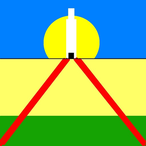
Determine direction to using GPS and compass. Display distance to . Show longitude, latitude, and address. Requires GPS permission for accurate calculation.


GPS Data Smart
ExaMobile S.A.
Track altitude, speed, and location
Track altitude, elevation, and GPS coordinates. Monitor speed in km/h or mph. View compass direction. Check GPS signal quality. Log location for outdoor activities like running, mountaineering, or traveling.
Sacred Site Compass
SHINNYO-EN GRAND HOLY TEMPLE
Direction and distance to holy places.
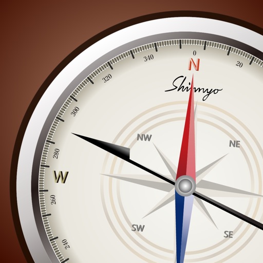
The app displays the distance and direction to a selected holy place. Users can view the location on a map and choose a background image.
How we rank alternatives
Apps are ranked by functional similarity, category fit, rating confidence, and popularity.