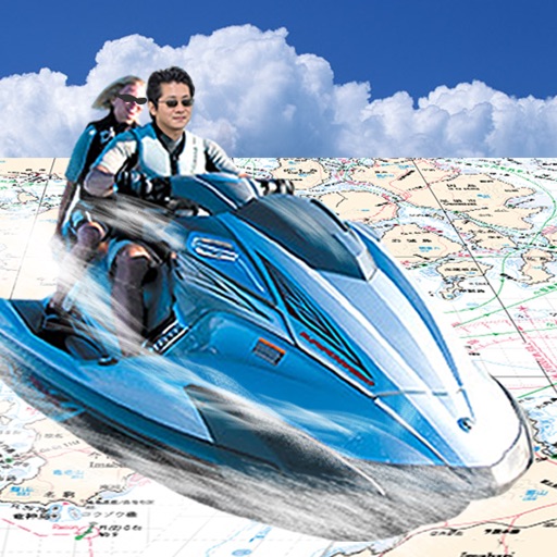
Navigate using GPS to find sea routes and locations. View detailed maps and charts. Mark and save waypoints. Track speed and depth. Share coordinates with others. Sync with other devices for real-time updates.
by FujiDenshiDotCom★ 2.04 ratingsNavigationFreeData updated 2026-09-08
Track vessels using real-time AIS data. View names, types, and destinations. Receive alerts when tracked vessels depart or arrive. Identify ships and monitor their movements globally.
Access detailed nautical charts with C-MAP® for route planning and GPS navigation. View weather data and marine traffic. Set personal waypoints and record tracks. Explore thousands of pre-loaded points of interest.
Determine using GPS, barometer, or location input. View data on interactive maps. Access real-time altitude readings. Compare changes across locations. Save and share measurements.
Manage waypoints by creating, storing, editing, and organizing them. View detailed fishing maps for accurate charting. Sync data with devices. Log favorite fishing spots and plan trips. Share waypoints across devices.
The app provides tide information for over 8,000 worldwide locations without requiring an internet connection. It offers tidal graphs, week-ahead tide tables, and tools for calculating time windows for various maritime activities.
Plan and save trips with detailed and route creation. Share trips to track friends' positions. Use turn-by-turn for snowmobiles and off-road vehicles. Access offline and official trails. Save points of interest and explore locations.
Track time spent outdoors with a background timer. Start and stop the timer manually. Keep a journal of adventures with note-taking. Upload photos for memory keepsakes. Add up to nine additional details per entry.
Provides GPS altitude and pressure altitude readings. Displays speed in kph, mph, and knots. Measures barometric pressure in multiple units. Tracks acceleration in G forces. Shows location, magnetic, and true heading.
Access HD for USA, Canada, UK/Ireland, Germany, Netherlands, and European rivers. View NOAA vector , freshwater maps, and USACE inland river maps with bathymetry. Create or import GPX/KML routes. Use voice prompts for navigation.
Navigate using true north calibration. View latitude and longitude coordinates. Access location and elevation data. Display compass direction and geographic position.
Access depth and marine charts for USA, Canada, UK, and other regions. Locate spots with AI-driven breakline analysis. Create or import boating routes with GPS and voice navigation. View HD bathymetry and sonar contours for precise planning.
View and navigate updated -MAP charts worldwide. Explore, plan, and save Points of Interest and Routes. Use Autorouting to find optimal paths. Access chart layers and track progress. Share routes and points with others.
Navigation allows users to load custom charts in S-57, S-63, iENC, BSB, and KAP formats. It automatically downloads NOAA charts and raster maps. Users can create waypoints, routes, and tracks. Night color modes and anchor alarms are available.
Monitor maritime vessels with real-time tracking using AIS data. View detailed vessel information including position, speed, and course. Access global ship movements and historical data for analysis. Set alerts for specific vessels or locations.
View global weather data with interactive map panning and zooming. Switch between weather layers for current and forecasted conditions. Track detailed weather changes up to 0.25 degrees on land or sea.
Find locations and points of interest with detailed search. Navigate using turn-by-turn directions for driving, motorcycle, and public transport. Support Apple CarPlay and multi-mode routing. Track real-time traffic and road conditions.