Navigate using GPS to find sea routes and locations. View detailed maps and charts. Mark and save waypoints. Track speed and depth. Share coordinates with others. Sync with other devices for real-time updates.
by FujiDenshiDotCom★ 2.04 ratingsNavigationFreeData updated 2026-09-08
Track sessions with a customizable timer and view statistics charts. Explore detailed chakra information and interact with a chakra chart. Listen to original singing bowl recordings. Enjoy guided sessions with visual aids and calming sounds.
Navigate waterways with detailed maps showing gas stations, restaurants, harbors, depth data, and waste disposal points. View shore zones and toggle pins for specific locations. Access real-time information for boating and water sports activities.
Lets users measure distances and areas on maps. They can plot radius areas with specified centres and sizes. Share maps as images to show routes, areas, or radii. Adjust colors and export map views.
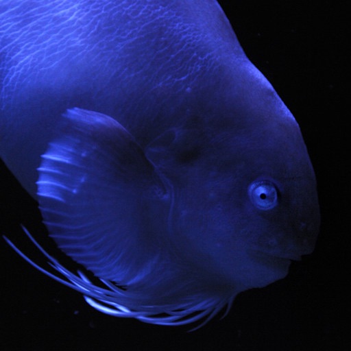
This app presents photographs of fish from Aquamarine Fukushima. It includes a slideshow with adjustable intervals, clock display, timer, alarm, and fish name display.
The app offers worldwide flight planning and in-flight navigation for iPad and iPhone. It provides flight plan creation, navigation data, and moving map features for various aircraft types.
View real-time alerts for storms, floods, heatwaves, and cold snaps. Access a color-coded radar map to track developing threats. Receive notifications based on your location.
The app provides worldwide marine and outdoor maps, including USA marine charts, lake maps, and parks. Users can download charts for offline use, overlay satellite and terrain features, and access interactive weather forecasts.
The app provides navigation capabilities using LINZ RNC Nautical Charts, even without a cell signal. It allows users to record tracks, mark waypoints, and create custom routes for their journey.
The app provides information and procedures for boaters. It contains approved methods and procedures for Coast Guard boat operations, serving as a primary reference for training.
Find attractions, restaurants, and shows within DisneySea. Use GPS and compass for directions. Search for real-time details online. Chat with other users. Store a preferred parking location.