
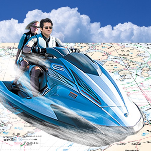
Apps Like Japan Chart Navi for iPhone and iPad
Navigate with real-time sea maps
Navigate using GPS to find sea routes and locations. View detailed maps and charts. Mark and save waypoints. Track speed and depth. Share coordinates with others. Sync with other devices for real-time updates.
Japan Chart Navi screenshots
Ranked alternatives
Showing 241–260 of 1,000 ranked alternatives.


GPS-Buddy App
DTT Group B.V.
Fleet information wherever users are.
The app provides fleet information, including vehicle location, speed, and temperature. Users can send messages and tasks, and view daily reports with list and map options.
GPS Tour
Michael Tschuggnall
Add locations and follow the compass
Enter coordinates to set destinations and follow a compass-based route. Save location tags in a profile to mark important stops. Load, edit, and reuse profiles to navigate between saved locations.


Boatmart
Trader Interactive, LLC
Browse boats, compare prices, connect with sellers
Browse and compare new and used boats with filters for type, condition, price, and model year. View boats on a map with GPS location. Contact dealers via call or email. Save and share boat details.

Ship's Log Book for Captains
Florian Kriesche
Automated logbook for sailors and boaters.
The app automatically creates logbook entries with weather and location data. Users can add pictures, measure heel, and view statistics.


Meteogram for iPhone
Michal Frankowski
View temperature, pressure, and wind trends
View weather trends for the next 48 hours with graphical depictions of temperature, atmospheric pressure, humidity, wind speed, and cloud cover. Tap anywhere on the chart to see specific data.

Virtual Dashboard
Kevinnovate, LLC
Customize dashboards with sensor data
Customize dashboards with configurable gauges like speedometer, odometer, GPS altimeter, barometric altimeter, accelerometer, artificial horizon, compass, and elapsed time. Swipe to switch views and access real-time sensor data from iPhone or iPad.



GoSatWatch Satellite Tracking
GoSoftWorks Development Co.
Track satellites and view real-time passes
Track satellites in real time with world map and overhead sky views. Identify satellites and the International Space Station with orbit . Determine dish orientation for geostationary satellites using GPS. View passes for any location.

Sky-Map
Rolf Schade
Moving map navigation and flight planning.
The app displays the user's actual position on digital aviation charts. It offers flight planning, route saving, and calculation of distances, flight times, and fuel consumption.




Topo Maps Canada
DC Cloud Apps, LLC
Download and view topography
View topographic of for hiking, camping, and outdoor activities. Choose between Base Map and Toporama sources. Download for offline use. Track location, elevation, and movement on the map.

How we rank alternatives
Apps are ranked by functional similarity, category fit, rating confidence, and popularity.