Record runs with GPS tracking of speed, distance, and altitude. View saved routes on maps. Analyze performance with detailed stats and vertical movement data.
by Fitness & Sports apps SRL★ 4.88,703 ratingsNavigationFreeData updated 2026-09-08
View and manage files with customizable map displays. Import files from cloud services, local devices, or emails. Choose between Apple Maps, Google Maps, OpenStreetMaps, or custom tile sources. Adjust colors for waypoints, track points, and routes.
Waterski runs with a speedometer. View location, average , distance, and other metrics. Select ski types to set target speeds. Use offline without sign-in. Save and view historical runs with Pro.
Track routes and rides with GPS, logging distance, speed, cadence, and time. Monitor rate and training progress. Sync with Apple Health and Apple Watch. Create and compare regular routes. Set coaching goals and view performance metrics.
Watch live and on-demand action sports content including surfing, snowboarding, skateboarding, and motocross. Stream premium series, movies, and events. Access exclusive programming and special events. Sync with social media to share clips.
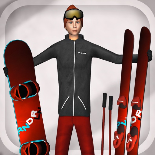
Play ski or games with 15 locations and various terrain features. Customize character outfits. Replay sessions with picture export. Access big air events and technical halfpipe challenges. Track progress and view replay options.
View detailed trail maps with offline access. Check live weather, videos, webcams, and lift reports. Stay updated on resort conditions and events. Access real-time information and mountain deals. Track lift status and trail availability.
Track walks, runs, and rides with detailed maps. Log activity duration, distance, and elevation. Analyze patterns and view progress over time. Set and monitor fitness goals. Sync data with Apple Health. Share achievements and streaks with others.
Plan and track outdoor routes with 3D terrain views. Measure elevation changes and distance. Save and share custom trails. Access real-time GPS navigation and offline maps. Adjust routes based on elevation and difficulty.
Track skiing speed and distance. Map ski routes and mark slopes. Record maximum speed and track movement. View detailed statistics on winter sports activity. Sync data with maps for accurate route representation.
Navigation allows users to view property line , parcels, and public lands. Access land ownership details and map layers for 50+ states including hunting zones and restricted areas.
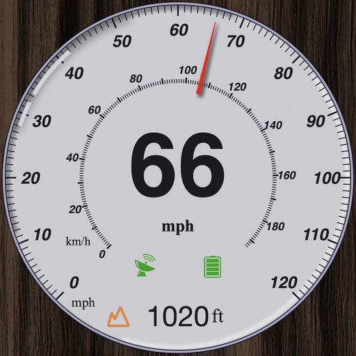
GPS measures and displays speed for walking, jogging, cycling, cars, boats, trains, and airplanes. Users can select display units and choose between two scales. Trip recording and average speed tracking are available.