Track precise location with Decimal Degrees, DMS, UTM, and MGRS formats. Access topographic maps and route planning. Set waypoints and measure distances. Share coordinates via email or messaging. Sync with GPS devices for real-time navigation.
Is a utility that works offline and keeps data local. It includes a live camera feed for CCTV, walkie talkie over local Wi-Fi, compass for direction, and leveler for measuring.
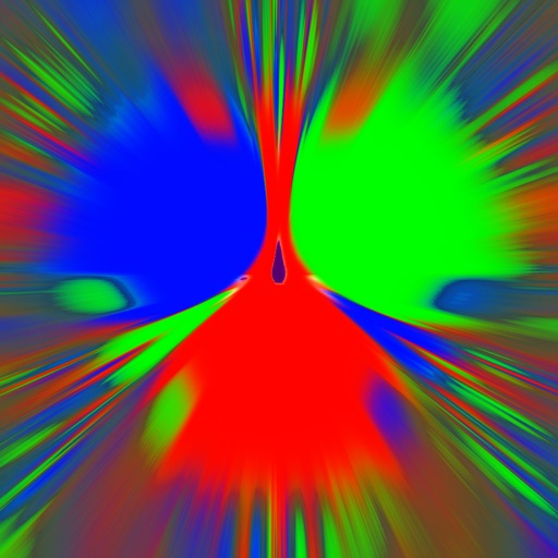
Simulate a metallic movement over three magnets. Adjust gravity and friction settings. Generate fractals based on simulation parameters. Learn about physics and mathematical patterns through interactive experiments.
Navigation displays a compass with arrows indicating directions to stored locations. Users can view coordinates and distances to these places. Record routes for later reference or to retrace steps.
Track displays current position, longitude, latitude, altitude, air pressure, magnetic field strength, and speed. Includes real-time positioning and map functionality. Offers 360° rotating styles for direction identification.