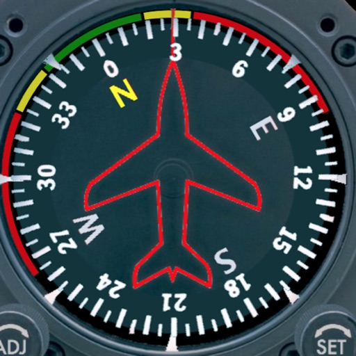
The app adds a compass to the iPad, utilizing the built-in magnetic compass or a sun compass. It is suitable for outdoor activities like hiking and biking.
by Piet Jonas★ 5.01 ratingsNavigation$0.99Data updated 2026-09-13
Calculate wind values including head/tail and using TAS input and device location. Manually enter headings if compass data is unreliable. Display reciprocal headings and tracks. Use location data temporarily for wind calculations without storage.
The app provides offline navigation using GPS and compass data. It features an augmented reality mode for overlaying target locations and a radar view to see nearby points of interest.
Determine direction to using GPS and compass. Display distance to . Show longitude, latitude, and address. Requires GPS permission for accurate calculation.
Track and distance in miles and kilometers with real-time updates. Switch between KM/H and MPH modes. Display average and maximum . Show altitude and compass. Monitor GPS signal accuracy. Use analog . Work offline without internet.
The app provides access to device GPS functionality, displaying heading, compass, map views, speed, distance, coordinates, and altitude. It also offers weather information including temperature, humidity, pressure, cloud cover, and wind speed.
Explore outdoor activities like hiking and biking in red rock landscapes. Discover art and cultural sites with guided tours. Learn about Native American history and traditions through interactive exhibits.
The app records vehicle travel data, displaying real-time measurements like speed, distance, and altitude. It offers features such as trip recording, customizable themes, speed limit alerts, and HUD mode.
The app visualizes magnetism in three dimensions using the iPhone's magnetometer. It can be used to explore magnetic fields, detect metal, and estimate north-south position without GPS.
Displays a photorealistic -style indicator with both analog and digital readouts. Users can toggle rotation lock, simulate the instrument indoors, and view improved graphics. Supports latest iOS versions and includes bug fixes.
View and navigate nautical charts for sailing, diving, and fishing. Plan routes and create waypoints. Share tracks with others. Subscribe for updated chart data. Access technical support via email.