Track satellite passes using augmented reality. View the International Space Station, Starlink Trains, and other satellites in real time. Overlay positions on the night sky via iPhone or iPad camera.
by Toriningen Co.,Ltd.★ 4.8116 ratingsEducation$2.99Data updated 2026-09-08
Explore with high-resolution maps and topographic details
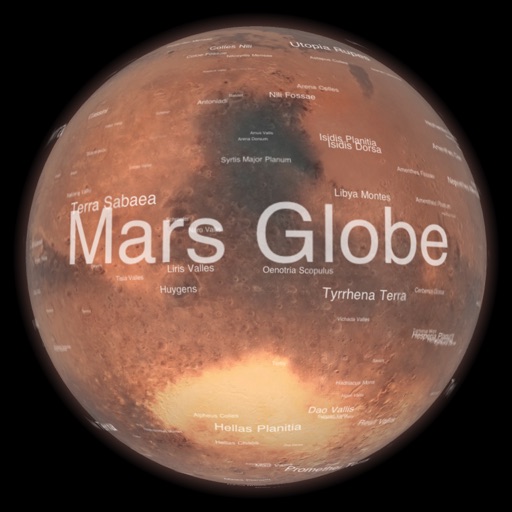
Explore a high-resolution 3D model of with topographic lighting and satellite data. Navigate the surface, view annotated features, and access information links. Take a guided tour or explore freely.
Provides flight data management with downloadable weather briefings and dual data cycle support. It includes a glide ring for descent planning and a collapsible navlog for airway and procedure tracking.
The app allows users to pay for parking and purchase transit passes in participating cities. It offers a mobile-first experience for managing trips, skipping meters, and avoiding tickets.
Explore locations using 360° and live webcams. Navigate interactive with dual providers: Google and Apple Look Around. Plan trips, landmarks, and play location-based games. Share panoramic views and access real-time webcam feeds.
Plan hunts with detailed LiDAR maps, satellite imagery, and deer movement predictions. Access land boundaries, ownership data, and parcel change alerts. Customize LiDAR layers and overlay crop data for strategic scouting.
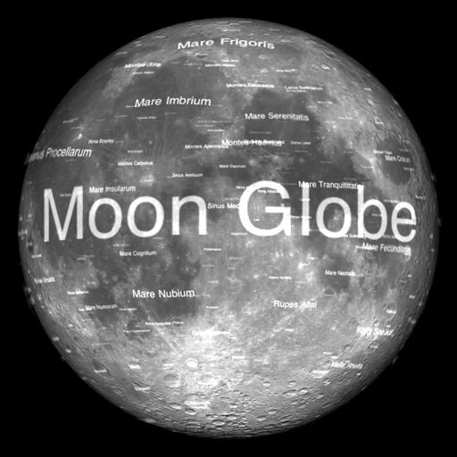
The app renders the Moon in realtime 3D using satellite imagery and topographic data. Users can manipulate the view, adjust sunlight, and see labeled terrain features and spacecraft.
The app offers a fast-paced quiz game about space exploration. It covers the Solar System, space missions, sci-fi, and technology with hundreds of questions.
Navigation allows users to load custom charts in S-57, S-63, iENC, BSB, and KAP formats. It automatically downloads NOAA charts and raster maps. Users can create waypoints, routes, and tracks. Night color modes and anchor alarms are available.
Unlock bikes at 220 stations using GPS. Locate nearby bikes and stations. Start a ride with one tap. View real-time maps and traffic. Track trip distance and time. Pay for rides via . Receive notifications about availability and service alerts.
Provides GPS navigation with fast lock time and precise parameters. Supports multiple systems including GPS, Galileo, GLONASS, and QZSS. Diagnoses location issues and suggests fixes. Includes latitude, longitude, and WGS84 by default.