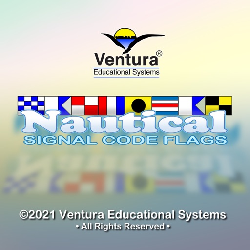
The app provides a reference for the International Code of Signals, including images and usage descriptions for all 40 international code flags. It is useful for mariners and travelers for safe navigation and understanding ship status.
by Gigs, Inc.★ 0.00 ratingsReferenceFreeData updated 2026-09-13
Measure in real time. View quality and connection details. Identify weak spots in your home or office. Compare across multiple networks. Locate optimal placement for devices or repeaters.
Explore country details with comprehensive profiles containing 170+ data points. View maps, flags, and key statistics. Search by country name or region. Compare economic, social, and political information. Save favorite countries for quick reference.
Identify rocks, minerals, and crystals by uploading photos. Learn details about each specimen including type, properties, and uses. Access a database of geological information and compare characteristics for accurate identification.
Test knowledge of and countries with randomized questions. Answer multiple-choice questions to identify . Play single-player or compete against friends in multiplayer mode. Track progress and learn new through repeated practice.
Ride-sharing allows users to locate and unlock electric scooters via QR code. Track routes, monitor battery life, and pay for trips through the . Find nearby scooters, start and end rides, and follow parking guidelines.
Track ships in real-time with vessel details, routes, and estimated arrival times. View port arrivals and departures. Plan coastal trips using maritime data. Receive updates on new ships entering ports.
Track tides and currents for over 12,500 global locations without an internet connection. View tidal data and current details. Save and access information offline. No ads or in- purchases required.
Explore detailed with zoom functionality. View country profiles and compare locations. Access about geography, culture, and history. Search for places and view satellite imagery. Save favorite locations and share with others.
Track with state-specific designs and view progress on an overview map. Challenge friends, share scores, and solve vanity puzzles. Purchase additional puzzles and tweet progress.
Study for the Commercial Driver's License with practice questions and multi-choice answers. Take simulated tests with randomized questions. Receive detailed scores and email them. Save results automatically.
Search allows users to find routes and maps offline. View information and plan journeys between stations. Access bus details and timetables for and NCR. Navigate without internet connectivity.
Create and customize 3D flags with realistic animations. Choose from a selection of national flags and purchase additional flag packs. Wave flags in a virtual breeze and share creations with others.
View country flags instead of names on a map. Search for countries by and navigate to their locations. Track visited and planned destinations with color-coded lists. Display flags of visited and desired countries for easy reference.