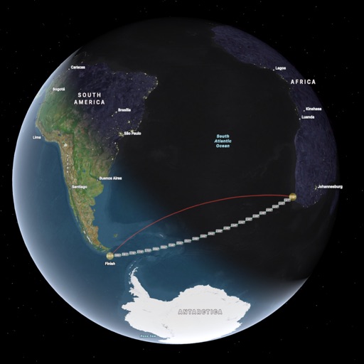
The app provides map display for land and sea with multiple map layers including OpenStreetMap and Apple Maps imagery. It offers features like offline map data, places of interest search, and waypoint management with GPX file support.
by Electronic Chart Centre AS★ 4.02 ratingsNavigationFreeData updated 2026-09-13
Records and displays real-time location data. Users can monitor distance, speed, and duration during activities. It supports multiple modes including walking, running, cycling, driving, and boating. Live tracking shows routes on a map.
Monitor boat position continuously with real-time tracking. Set a safe zone and receive instant alerts if the boat drifts outside the designated area. View the safe zone on a map and adjust the warning radius easily.