
Compass 54 Pro
Elen Bekzadyan
Real compass with location and weather.
The app displays device orientation to magnetic fields. It provides location coordinates, course, speed, altitude, weather information, date, time, and map views.

Navigate with offline maps and GPS
Turn your iPhone or iPad into an outdoor GPS or marine chart plotter. Use detailed Topo maps or NOAA marine charts for navigation. Access maps offline without a network connection. View GPS location without mobile signal.
Showing 261–280 of 1,000 ranked alternatives.
Elen Bekzadyan
Real compass with location and weather.
The app displays device orientation to magnetic fields. It provides location coordinates, course, speed, altitude, weather information, date, time, and map views.


晓溪 张
Track speed with dual scales and unit
GPS measures and displays speed for walking, jogging, cycling, cars, boats, trains, and airplanes. Users can select display units and choose between two scales. Trip recording and average speed tracking are available.


Robert Oehler
Offline maps for worldwide activity.
The app provides offline maps for worldwide use, enabling navigation without a data connection. It tracks activity metrics like distance and speed, offers route creation, and supports GPX file import.

Matthew Mayer
Plan trips, navigate subways, find routes
Metro systems with detailed maps and real-time route planning. View English and Chinese station names. Use GPS for navigation. Access offline maps and route options. Remove ads and unlock premium features for a smoother experience.


chaviro software
See places relative to current position.
The app displays up to six chosen locations simultaneously. Users can view the direction and distance to each selected place on a compass and check their coordinates.

Flytomap
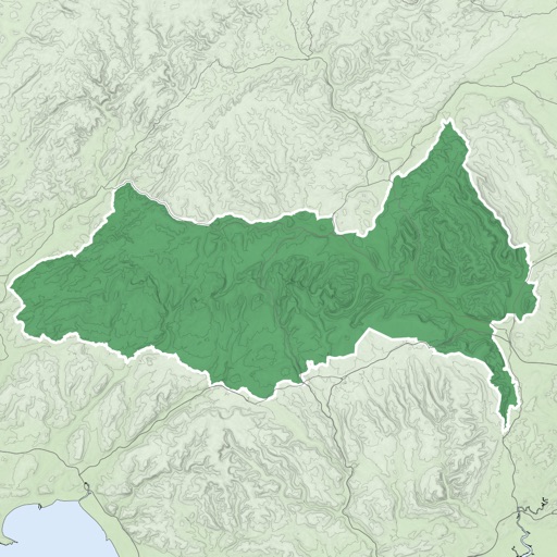
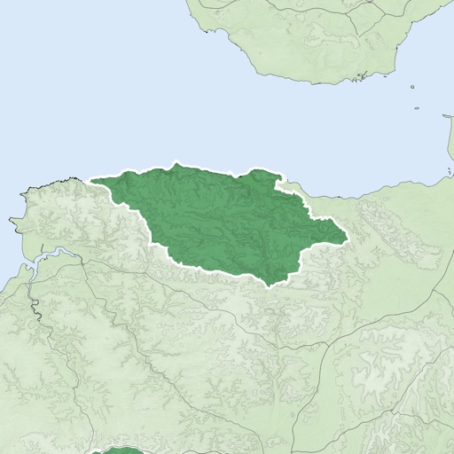
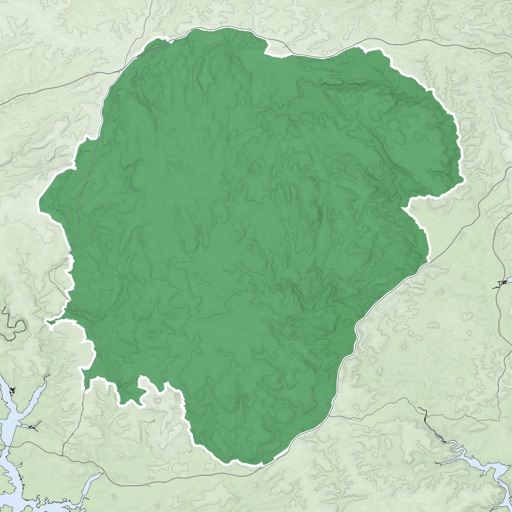
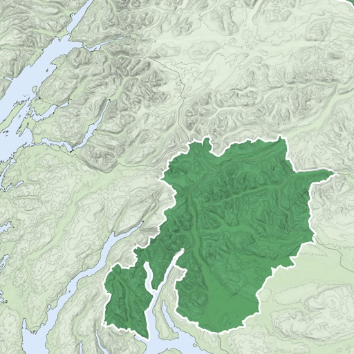
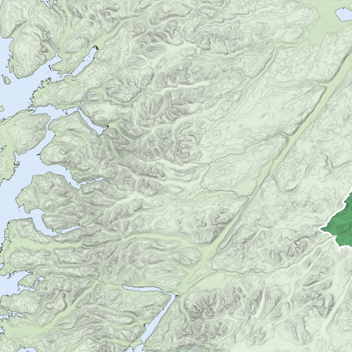
UK National Parks GPS Map Navigator
The app provides GPS map navigation for outdoor adventures in UK National Parks. It offers online and offline modes with detailed charts, GPS tracking, and name searching.


Nick Romano
Track workouts, view metrics, export routes
Record workouts with heart rate, speed, elevation gain, and other metrics. Import and export GPX and FIT files. View offline with custom tiles. Overlay routes from GPX, FIT, KML, or GeoJSON files. Generate walking and cycling directions.


Kazuhiko Oda
Track routes and view past GPS logs
Record GPS logs and set waypoints for tracking. View past routes and logs in one place. Add tags to logs and suspend recording as needed. Export data to GPX files. Log from locked screen or with another .

Delcartes LLC
Download maps for offline GPS navigation
Download high resolution USGS topographical maps for offline GPS use. View maps aligned with Apple's map kit for easy reference. Rotate, zoom, and navigate maps with precise touch controls. Explore geographical details and historical data.
Apps are ranked by functional similarity, category fit, rating confidence, and popularity.