Provides real-time traffic information including speed, incidents, road images, and weather. Alerts for speed cameras ahead. Integrates travel time boards for National Highway 1 and 3. Displays alternative routes for congested sections.
by TMS Technologies CO., LTD.★ 1.03 ratingsNavigationFreeData updated 2026-09-08
The app provides ski resort information including maps, weather, and live cameras. It features GPS tracking to record skiing activity, analyze performance, and share achievements with friends.
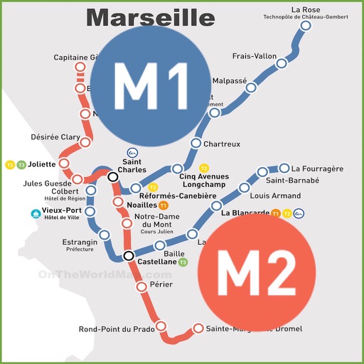
& Subway Map displays detailed route maps with offline access. Find fastest routes and transfer stations. Quickly navigate to any station using the stations index. View line-specific station orders and transit options.
Find street addresses and zip codes using map and compass features. Search for food and gas locations along travel routes. View speedometer readings during navigation.
Nam Long Technology Investment Group Joint Stock Company
Find bus routes and stations
Look up bus routes, find buses by route, search for stops, and view information about nearby bus stops. Check real-time updates and plan trips based on current schedules.
Find light displays with an interactive map. Read reviews from other families. Plan routes and save favorite locations. Get directions and real-time updates on display status. Share experiences with friends via social media.
Plan routes with real-time transfers and station details. View detailed line information and station order. Switch between day and night map themes for better visibility. Quickly access any station via the stations index.
Find Points of Interest with detailed categories including hotels, restaurants, hospitals, and tourist attractions. Search for locations, view , and access offline routes and POI data.
Find nearby ultra-fast charging stations, monitor charger status in real time, and plan routes with ease. Locate stations on a map, check availability, and navigate to them. Sync with vehicle systems for accurate range estimates.
Track vehicle routes and verify trips. Receive client pickups and drop-offs. Manage destination values and trip details. Sync with navigation systems for real-time updates.
Find nearby EV with real-time availability. Plan routes using navigation features. Receive personalized notifications and view usage statistics. Share feedback and read user reviews.
The app displays a vehicle list with street name, status, and sensor information. It allows real-time viewing of vehicle positions on a Google map and replays historical routes.
Find routes between two metro stations using an interactive map. Display real-time metro layout with station names and connections. Navigate easily during commutes with clear directions and station details.
Monitor vehicles in real time, search for any vehicle quickly, view detailed vehicle information at any time, replay vehicle routes, and send feedback to .
View weather maps of the Mediterranean, track and sea conditions hourly. Add favorite locations and monitor parameters like at 10m, gust, and wave height. Use color-coded scales for easy navigation.
Vehicle location, speed, and engine status in real time. Receive instant notifications for speeding, unauthorized use, battery disconnection, and panic alerts. View historical route data and vehicle status updates.
Navigation allows managers to create and assign routes, monitor real-time operations, and communicate with drivers and customers. Drivers receive route details and progress updates via tablet.
Route optimization generates efficient routes to reduce costs. Real-time tracking updates ongoing routes with live data. Users can monitor vehicle locations and adjust routes as needed.
Check current status of NYC Street Sweeping Alternative Parking Rules. View suspension dates and locations. Receive notifications when rules change. Find alternate parking options nearby.
Measure speed using GPS with a digital , head-up display projection, and tracking of average speed, distance, and travel time. Log data offline, adjust settings, and access a user-friendly interface for one-handed use.
Plan routes with customizable options for riders. View detailed maps and turn-by-turn directions. Explore scenic trails, mountain roads, and coastal highways. Receive real-time GPS navigation and traffic updates.