Provides real-time traffic information including speed, incidents, road images, and weather. Alerts for speed cameras ahead. Integrates travel time boards for National Highway 1 and 3. Displays alternative routes for congested sections.
by TMS Technologies CO., LTD.★ 1.03 ratingsNavigationFreeData updated 2026-09-08
Plan routes with customizable settings. Add stops for hotels, gas stations, and meeting points. Use voice-guided during rides. Sync routes with GPS for real-time tracking. Share routes with others.
Access the latest Map for navigation. Plan routes and find the nearest stations. View live service status and departure times. See travel zones on the map. Locate over 200 points of interest reachable via .
Book and pay for trips between Whangarei and Invercargill. Track rides in real time. Schedule trips ahead of time. Use multiple payment methods including TaxiCharge. Access security cameras during rides.
Check bus arrival times and routes in real time. Find nearby routes and track estimated arrival times for next three buses. View real-time passenger load and receive drop-off alerts. Earn积分 for each ride and redeem them for future travel.
The app provides audible and visual speed camera warnings. It uses directional information to reduce false alerts and displays cameras on a map or in a list.
Find nearby stations and check real-time bike availability. Unlock bikes at stations and receive trip notifications. View cycling routes and plan journeys. Earn rewards and redeem free rides for friends.
Track mountain bike trail conditions with real-time updates and push notifications. Check 294+ trail systems for difficulty, closure, and maintenance status. Submit trail information through .com/add.
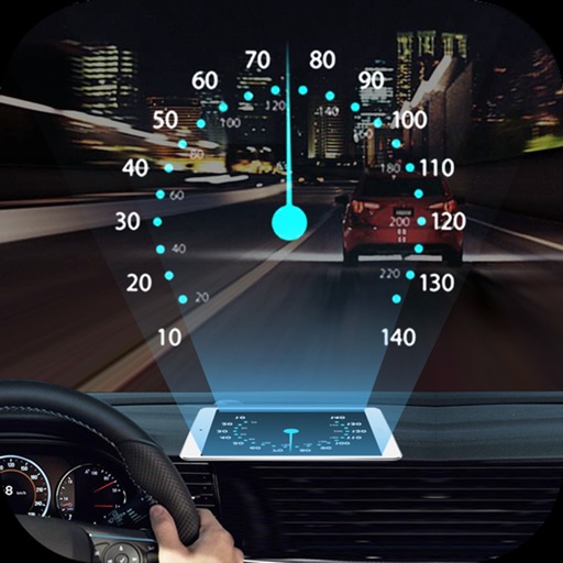
Projects speed, clock, weather temperature, cruise control, and now playing song information onto the windshield when iPhone is rotated and placed near the windshield. Displays data in landscape mode for easier visibility while driving.
Rent e-bikes from station network. Locate and unlock bikes using GPS. Track routes and speed. View trip history and battery levels. Receive real-time station availability updates. Pay for rides through the .
View real-time traffic data including freeway speeds, camera snapshots, and lane closures. Check CHP incidents, changeable message signs, and chain controls. Locate safety rest areas, park & ride lots, and truck weigh stations.
Navigate trails and routes for hiking, biking, and running. Access detailed maps of national parks and coastal paths. Find local neighborhoods and new trails. Plan routes with turn-by-turn directions. View elevation profiles and track progress.
Plan trips with itinerary creation, weather forecasts, and local attraction listings. Access real-time weather updates and travel tips. Find accommodations, book tours, and navigate using interactive maps.
Track real-time locations for orange and green routes. View arrival times and stop schedules. Receive notifications for upcoming stops. Access maps and route information. Report service issues directly through the .
Guangzhou Tianhe District Yongji Network Technology Co., Ltd.
Navigate with real-time satellite maps
Provide turn-by-turn navigation with high-resolution satellite imagery. Display real-time traffic and points of interest. Allow background location updates for continuous navigation. Show accurate terrain and road details.
Navigate using -time data to avoid delays. View live jams, road closures, and incidents. Find the fastest route with quick route calculation. Get updates on weather conditions affecting your journey.
View real-time transit data including buses, trains, ferries, and streetcars on a single map. Check departure times for routes arriving at your stop. Get insights into travel patterns and system-wide updates.
View real-time and road conditions using 511 CCTV . Create custom camera groups for frequent routes. Quickly access on your route. Add camera widgets to home screen for easy viewing.
Plan trips with real-time public transport schedules and route options. Check timetables for ZTM, MPK, MZK, SKM, PKP, and other carriers. Purchase tickets directly within the for selected routes. View accurate connections and travel information.
Plan and navigate off-road trails with detailed maps and turn-by-turn directions. Mark favorite routes and track progress. Share data and receive real-time updates on conditions. Sync with GPS devices for accurate navigation.