Displays current coordinates, date, and time with a scrollable map. Share coordinates via SMS, email, Twitter, Facebook, or Weibo. Attach screenshots when sharing via email, Twitter, or Facebook. Copy coordinates to locate places using crosshairs.
by Acceleroto★ 4.020 ratingsUtilities$0.99Data updated 2026-09-08
Emergency alerts for organizations and businesses.
The app allows users to communicate emergency information, including GPS coordinates, text, audio, and photos. Administrators can initiate lockdowns and survey user emergency status.
Track location, speed, and altitude with real-time GPS data. Use a digital compass for direction. Access weather information and tag locations. Share coordinates and view maps.
Get current coordinates in latitude/longitude and MGRS format along with altitude, course, and speed. Toggle features on or off to customize the interface. View accurate location data for navigation purposes.
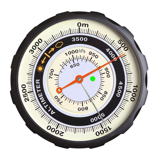
Displays altitude using a digital readout and an analog gauge. Tracks maximum height reached during use. Shows altitude accuracy and sensor quality. Utilizes GPS and barometric sensor for precise measurements.
Compose and reply to email messages via amateur radio networks. Send and receive messages through telnet or the Amateur Radio Emergency Data Network. Pair with VARA or KISS TNC modems via WiFi or Bluetooth.
Measure distance on a map with accurate earth curvature calculations. Plan routes and find shortest paths. Track distance hands-free with automatic location following. Edit paths by adjusting points or values in-.
Check GPS and altitude of your current location. Tap to copy for pasting elsewhere. View current and saved locations in Maps. Share location via SMS or button. Bookmark current location with a name and access saved bookmarks with visit history.
Track ships and ports with real-time position and location data. View detailed information about vessels including name, flag, and MMSI number. Access port details such as name and flag. Use zoom functionality to navigate maps.
Navigate using real-time GPS and map data. Mark and save locations. Track movement and speed. Share coordinates with others. Use offline maps for areas with limited connectivity. Set waypoints and receive turn-by-turn directions.
Calculate prayer times during flights using waypoint coordinates and altitude. Determine prayer times en route with ground speed and track data. Sync with flight plans for accurate timing.