Use device sensors to locate planets, constellations, and satellites. View high-definition graphics with Retina display. Adjust settings based on location and time. Access detailed information about celestial objects.
by Edward Sanville★ 4.86,895 ratingsEducation$2.99Data updated 2026-11-04
Explore interactive 3D models of the solar system and Earth's layers. Build a sundial and walk on the moon. Use augmented reality to visualize space concepts. Access 20 science projects with guided instructions.
Displays satellite positions as a red dot over the camera view. Guides users to align satellite dishes by showing direction and distance to the selected satellite. Alerts about obstructions between the user and the satellite.
Answer questions about geography and landmarks using map data. Locate features like cliffs, towns, and peaks. Check altitudes and distances. Find nearby campsites and mountain refuges. Identify glaciers, lakes, and celestial bodies on the map.
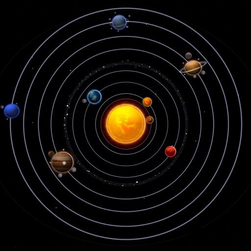
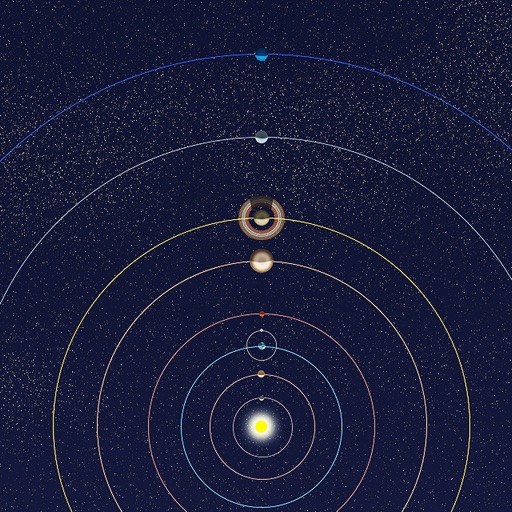
View positions of all solar system planets at any date. Adjust time to see real-time movements. Display accurate orbit sizes, eccentricity, and orbital shapes based on NASA data. Show realistic planet sizes relative to each other.
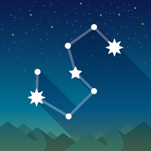
View the night sky from any location and time. Rotate and zoom the star chart using multi-touch gestures. Identify over 16,000 stars with names for 254. Simulate atmospheric distortion and twinkling effects.
The app offers interactive simulations for children to explore the Solar System. It includes size comparisons of celestial bodies and shows planets orbiting the Sun at comparative speeds.