The app displays the user's actual position on digital aviation charts. It offers flight planning, route saving, and calculation of distances, flight times, and fuel consumption.
by Rolf Schade★ 3.01 ratingsNavigationFreeData updated 2026-09-13
The app allows users to view and search points of interest including gas stations, tourist attractions, and accommodations. It also locates users on the map using GPS and suggests routes for exploring new trails.
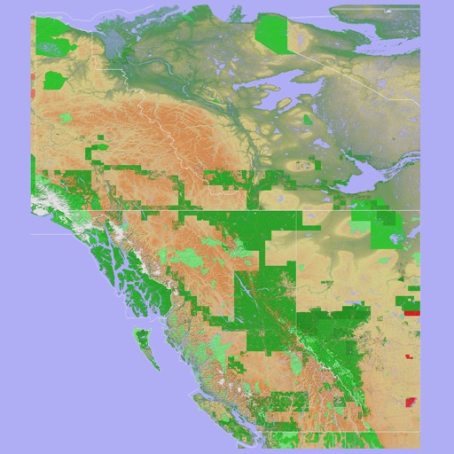
The app provides a 3D topographical map of Western Canada. Map data downloads to the device for use without an internet connection, allowing users to view terrain features as small as ten meters.
The app presents a 3D topographic map of Eastern Canada. Users can download map data for use without an internet connection, suitable for various travel methods.