The app provides up-to-date bush fire information for New South Wales, Australia. It uses iPhone GPS and NSW Rural Fire Service data to list nearby fires, helping users understand their current situation.
by P4G Pty Ltd★ 4.944 ratingsNews$0.99Data updated 2026-10-10
Friends of the Northwest Weather and Avalanche Center
Check forecasts and track conditions
Access real-time forecasts and data from multiple centers. View current conditions, station observations, and station data. Track forecasts and receive updates for specific regions.
Calculate fire behavior using scientific models and real-time weather data. Access 3D interactive maps for terrain analysis. Integrate fuels data for accurate predictions. View fire spread simulations and adjust variables on the fly.
Monitor live and emergency incidents in City, County, and Anne Arundel County. View real-time updates from dispatch. Access map-based location tracking of active incidents. Receive notifications for new . Filter incidents by type and location.
The app provides weather data from NOAA's National Data Buoy Center, including tide predictions and moon phases. It allows users to view buoy data, save selected, and access location-specific forecasts for planning water activities.
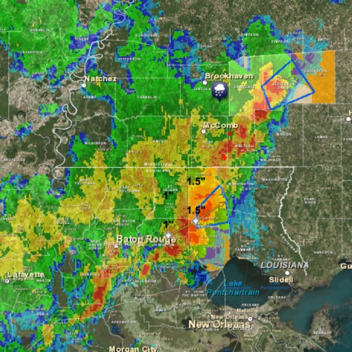
The app provides weather information for South Florida, including forecasts, current conditions, and storm tracking. Users receive up-to-the-minute conditions, hourly and seven-day forecasts, and an interactive radar map.
Access real-time and historical data for England and Wales from 2017. Search by postcode, town, or current location. View reported crimes, their frequency, and outcomes. Filter by type and location. Share data via email or social media.