The app displays local time in 12H and 24H format alongside UTC. It shows the user's grid square and local sunrise and sunset times if the location is available.
by Ben Sinclair★ 2.925 ratingsReference$0.99Data updated 2026-10-24
Edit photos with filters, light overlays, and aesthetic design elements. Crop, resize, and add borders or shapes. Create collages with multiple layout templates. Include stickers and share edited images on Instagram or Facebook.
Find trails with detailed GPS routes, elevation profiles, and interactive maps. View photos and expert insights for each trail. Search for hikes by location or area. Plan routes with suggested highlights and difficulty levels.
Record video with and cameras simultaneously using Picture-in-Picture, split screen, or single layouts. Capture triple shots in one click. Save and share recordings.
The app displays the sky and shows the time of day, day of year, and the location of celestial bodies. It provides sunrise and sunset times, Moon phase, and transit times for celestial objects.
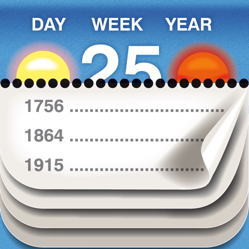
View historical events for each date. Track sunrise and sunset times. Display week number, day length, and moon phase. Learn daily facts from various historical periods. Share interesting facts with others.
Convert units for currency, weight, length, volume, and temperature. Input values and select units for instant . Access real-time currency rates. Share results or copy to clipboard for quick use.
Monitor real-time GPS accuracy and switch between latitude/longitude and DMS formats. Copy with one tap. Toggle between metric, imperial, and nautical units. View location data quickly with a simple, reliable interface.
Display a with animation on time changes. Customize themes and widgets for iOS14. Add white noise and set alarms. Track time with Pomodoro timer. Include inspirational quotes and adjust settings.
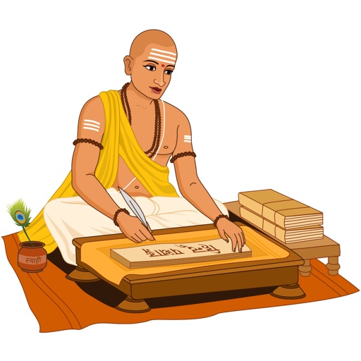
View daily entries including Tithi, Nakshatra, Yoga, Karana, and weekday. Track lunar and solar movements. Set reminders for auspicious times. Share details with others. Sync with other apps.
Use augmented reality to scan signs in Golubac's main square. View information about local legends and myths. Explore historical stories through interactive visual displays.
The app provides hyperlocal rain timing up to three hours ahead, including start and end times. It offers push alerts for incoming rain, severe weather, and customizable notification settings for weather events.
Access city time with a home screen widget. Automatically detect location and view time zone details. Get sunrise, sunset, moonrise, and moonset times. Track daylight saving changes and twilight periods.
Find runs with GPS routes, elevation profiles, and interactive maps. View photos and expert insights for each . Search for runs by location or area. Plan routes with detailed guidance and highlights. Sync with maps for offline navigation.
The app offers marine tide information for US tide stations. It displays tide events, sunrise, sunset, moonrise, and moonset, with tide graphs and current predictions.
The app displays map coordinates in multiple grid formats including British Grid, Irish Grid, MGRS, and UTM. It also shows Latitude & Longitude in decimal and sexagesimal notation for global use.
Access aeronautical for 41,000 airports and 10,900 radio navigation aids. View details including name, city, state, and country. Download and view weather, charts, and notams offline after initial online access.