Track bus locations using real-time GPS data. Save favorite stops for quick access to arrival times. Plan trips with step-by-step transit directions from Apple Maps. Receive arrival notifications to stay informed.
Measure altitude using barometric pressure and GPS data. Display altitude in feet and meters with real-time accuracy. Calibrate sensor and switch between day and night display modes.
The app measures distance, area, and perimeter on a map using manual input or GPS tracking. It allows users to label, save, and share points in KML format, and check bearing and geo-coordinates.
Trigger sounds via accelerometer, touch, GPS, or timer. Choose from loud and varied noises. Share recordings with friends. Set schedules for automated pranks.
Track flights with automatic logging or manual entry. Record details like time, distance, and aircraft type. Share logs with others. View history and statistics. Discover and explore new airports.
Track location and route using GPS. Share real-time updates with anyone via web browser. No installation or sign-up required. Let others follow your progress during runs or trips. Adjust sharing settings as needed.
View current location details including latitude, longitude, altitude, and address in Decimal or DMS format. Track trip data such as distance, speed, and maximum speed. Save location and trip information for later review.
A that uses the device's LED or screen for lighting. Adjust brightness and color settings. Access S.O.S. signals with audio tones. Use emergency mode with flashing colors and a siren. Enable strobe effects with adjustable flash rates.
Monitor life with real-time usage charts and customizable charge alerts. Track remaining time for specific activities like music, video, GPS, and flashlight use. Set up a widget for quick access and calibrate for accurate device-specific performance.
The app allows users to save, edit, and share GPS locations. It supports various coordinate formats and map providers, with additional features available in the paid version.
Calculate groundspeed, true heading, compass heading, leg time, distance, fuel required, fuel flow, and endurance for flight planning. Convert airspeed, altitude, and temperature.
Track individuals' locations using their number, contact list, or manual input. Send an SMS request to obtain precise GPS coordinates displayed on a map. Monitor real-time movement and view historical location data.
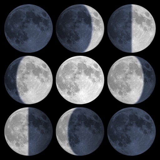
Calculate sunrise, sunset, moonrise, and moonset times based on GPS location or selected locations. Track moon phases and twilight times. Save multiple locations and sync calendars for upcoming events. Support timezone selection and iPad Split View.
Report local issues like potholes, damaged signs, and street light problems using GPS location. Select from predefined problem categories. Upload photos or videos to support reports.
The app measures distances to a target using the device's camera. It calculates estimated distance and altitude after the user aims at a target, moves a set distance, and aims again.
View historical and future solar and lunar eclipses with detailed dates and times. Track visibility based on location. Learn about types and phases. Access sky maps for observing conditions. Save and share details.