Record and display GPS-based measurements with a map line. Share results on social media. Obtain current location via GPS. Option to minimize battery use without GPS. Does not run in the background.
Displays altitude, coordinates, and speed with options for metric or imperial units. Shows accuracy and warns about signal issues. Offers aircraft mode with in feet. Compares current altitude with known values. No ads or data collection.
Monitor location, heading, pressure, temperature, altitude, speed, distance, and elapsed time in real-time. Track trips, share routes, and receive comprehensive built-in instructions. Customize settings and view data on a large, easy-to-read display.
Manage GPS locations by creating, saving, and navigating to specific points. Edit or remove metadata from photos. Track orientation and protect privacy. Save favorite spots and move between locations seamlessly.
Measure altitude using barometric pressure and GPS data. Display real-time altitude readings. Save and review altitude logs. Sync data with iPhone apps. Set altitude alerts and track elevation changes during outdoor activities.
Track satellites in real time with world map and overhead sky views. Identify satellites and the International Space Station with orbit . Determine dish orientation for geostationary satellites using GPS. View passes for any location.
Record data including , average , distance, altitude, and elapsed time. View real-time GPS tracking with longitude and latitude. Monitor statistics and save history. Sync with devices for offline navigation.
Manage iOS devices from a central web dashboard. Install to access managed store, deliver content via backpack, and track GPS location. Background GPS use may reduce battery life.
Calculate pressure and temperature values for refrigerants. Input pressure or temperature to automatically compute the other. Display superheat and subcool values. Show saturated vapor and liquid values for blends. Switch between refrigerant types.
Track members' locations in real time using GPS. Set up alerts for movement zones and receive notifications when someone enters or leaves a designated area. Share location updates with specific contacts.
Calculate sunrise and sunset based on GPS location. Track time until next sunrise or sunset. Plan outdoor activities like running, hiking, and biking using accurate daylight schedules.
Collects and displays data from various sensors like accelerometer, gyroscope, GPS, and audio. Users can log device properties such as screen brightness and battery level.
Share real-time locations with family members. Set safe zones and track history. Monitor phone using GPS technology. Send alerts and check device status remotely.
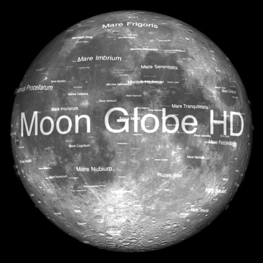
The app displays Earth's Moon in realtime 3D using satellite imagery and topographic data. Users can manipulate the view, switch to Telescope mode, and adjust the display time to observe shifting sunlight on the lunar landscape.
The app uses GPS to identify the zip code, address, and GPS coordinates of the current location. It functions in US locations and almost any international geography.