

Apps Like Garmin Pilot for iPhone and iPad
Track weather and plan flights
Plan flights with detailed route mapping, weather data, and fuel calculations. Access real-time weather briefings and interactive charts. Log flight details and manage preflight checklists. Sync with avionics for consistent navigation.
Garmin Pilot screenshots
Ranked alternatives
Showing 141–160 of 1,000 ranked alternatives.

METAR Reader
F. Willemse
Fetch and decode weather reports.
The app fetches and decodes preflight weather reports, including METAR and TAF. It allows users to discover airports, manage selected weather stations, and view up-to-date reports on one screen.

RunwayMap - #1 Pilot Community
RedDev GmbH
View airports, track weather, and access runways
Visualize approaches and landings with 3D views of airports and their surroundings. Access aviation weather forecasts, NOTAM data, runway information, airport restaurants, and webcams. Track real-time conditions and navigate airport layouts.


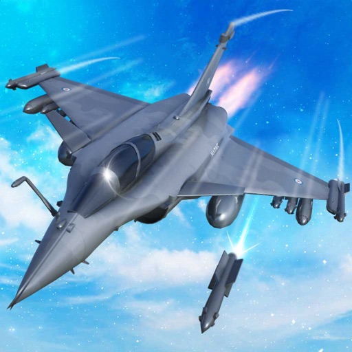
Jet Fighter Air War Simulator
Fatima Ahmed
Train pilots, build squad, launch attacks
Train pilots for air combat missions. Customize jets with upgrades. Manage squad formations and tactics. Execute airstrikes on enemy positions. Track progress through mission-based challenges. Unlock new aircraft and weapons.


Dronecast: UAV & Drone Weather
Pinverse LTD
Fly with real-time data
Check real-time forecasts and wind speeds at various altitudes. Access KP index and customizable limits. View no-fly zone maps and wind compass directions. Receive pre-flight reports to identify potential hazards.

Survey Pilot Pro
MysterWE, LLC
Plan missions, capture data, review flights
Allows pilots to plan, execute, and review missions offline. It includes tools for route inspection, search-and-rescue operations, and aerial surveys. Features include mission tracking, data logging, and cockpit-optimized interface.

Earthmate
Garmin International
Navigate and communicate on adventures.
The app pairs with an inReach device to send messages, navigate, and track locations. It provides offline maps, aerial imagery, and trip logging for outdoor adventures.

SkewTLogPro
Chad Sandstedt
Access powerful skew-t log-p charts.
The app displays skew-t log-p charts with temperature, dew point, and winds aloft. It shows current radar, Airmets, Sigmets, and SkewT data filtered by altitude.


SEAiq Pilot VPP
Sakhalin, LLC
Navigate with chart support and AIS data
View nautical charts in S-57, S-63, iENC, and BSB/KAP formats. Use external NMEA/AIS data over WiFi. Display official HO S-57/S-6 charts. Navigate river, channel, and harbor routes. Access real-time positioning and vessel tracking data.


8Flight Aviator EFB
Eight Flight LLC
Plan flights with accurate fuel and FBO
Plan flights with detailed weather forecasts and FBO data. View fuel prices and weather radar. Access graphical forecasts and accurate fuel pricing. Share flight plans and track progress. Sync with aviation databases for real-time updates.


How we rank alternatives
Apps are ranked by functional similarity, category fit, rating confidence, and popularity.