The app demonstrates Lorentz contraction, showing how an object's length shrinks at speeds near light. It also illustrates time dilation, where time passes slower for a moving object relative to a stationary observer.
by Piero Massimino★ 1.01 ratingsEducation$0.99Data updated 2026-09-12
Stack pancakes on a dish to build a . Balance the stack to prevent it from crashing. Complete the within three seconds to progress. Decorate the with various characters and items. Play for kids and families.
Track aircraft positions in real-time using ADS-B data. View live paths, altitudes, and speeds. Search for specific planes by identifier. Receive alerts for nearby flights and airspace changes.
Explore global destinations with interactive maps and character adventures. Navigate cities like Tokyo and Paris. Discover attractions such as theme parks and museums. Engage with animated characters and interactive elements.
Browse curated trail guides offline. View detailed maps, photos, and route descriptions. Download trail information directly to your device. Search for by location and difficulty. Save and access trail details without an internet connection.
Monitor strength and network speed in real time. Locate towers using radar and view detailed information. Access 5G, 4G, and LTE coverage maps based on public data. Test network speeds and track performance changes.
Explore a 3D globe with relief models and political and physical maps. View day/night cycles, time zones, and city lights. Access over 2,600 geographic objects and more than 500 wonders of the .
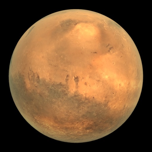
View Mars rover images in panoramic context with 3D options. Explore photos from Curiosity, Spirit, and Opportunity. Navigate terrain and compare images over time. Save and share selected views.
The app provides a 100% offline travel guide with zoomable regional maps of Guangzhou, Shenzhen, and Hong Kong. It includes interactive points of interest, daily itineraries, and city tips for moving around, shopping, and nightlife.
The app displays map coordinates in multiple grid formats including British Grid, Irish Grid, MGRS, and UTM. It also shows Latitude & Longitude in decimal and sexagesimal notation for global use.
View a live map showing 3G, 4G LTE, and 5G towers with details on operator, distance, and type. Locate nearest towers and check network coverage details.
Track speed in using units like meters per second, miles per hour, and kilometers per hour. Display speed in English or Spanish. Allow users to request additional language support.
Measure acceleration, orientation, and motion with built-in sensors. Record and analyze real-time data for experiments. Detect and generate sound tones. Visualize audio waveforms. Export measurements and graphs for scientific use.