Measure distances and angles using a rangefinder and inclinometer. View GPS coordinates and map overlays. Take geo-tagged photos and videos. Use a compass and navigation calculator for orientation and route planning.
by Craig Hunter★ 4.7906 ratingsNavigation$8.99Data updated 2026-11-13
The app provides worldwide marine and outdoor maps, satellite imagery, and terrain overlays. It offers local marine weather forecasts, route planning with unlimited waypoints, and track recording without needing a cellular signal.
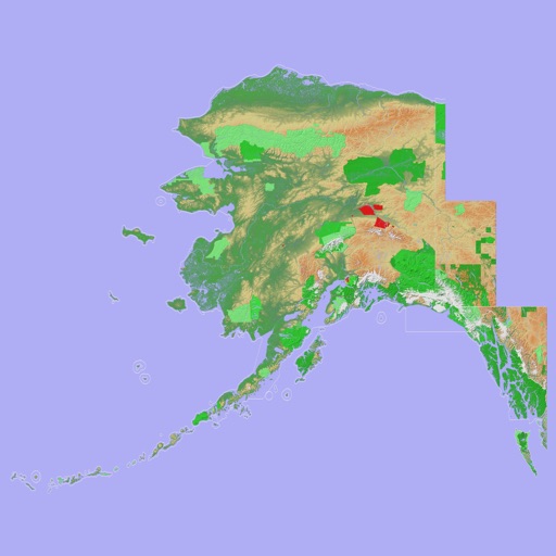
Navigate with a 3D topographic map of the USA. View detailed terrain and vector data offline. Use in vehicles or during outdoor activities. Access global maps online with automatic caching for offline use.
View 3D topographic maps of offline with vector data. Navigate by car, boat, plane, or on foot. Access worldwide satellite maps online with automatic caching. Toggle between map types and zoom to any location.