

Apps Like Theodolite for iPhone and iPad
Navigate with compass and map
Measure distances and angles using a rangefinder and inclinometer. View GPS coordinates and map overlays. Take geo-tagged photos and videos. Use a compass and navigation calculator for orientation and route planning.
Theodolite screenshots
Ranked alternatives
Showing 301–320 of 1,000 ranked alternatives.

Geo Timestamp : GPS Map Camera
Followal Infotech LLP
Capture photos with GPS, date, and time
Capture photos with embedded GPS coordinates, date, and time stamps. View map overlays and location details directly in images. Share geotagged photos with precise timestamps and location data.



iGeoTrans X
TRAN TRUNG CHUYEN
Record routes, collect data, track locations
Record routes from specific locations to survey sites and display them on a map. Measure distances between coordinates or map points. Calculate areas using coordinate lists or map selections.


View Tiff
Benjamin Larrison
Capture photos and movies in format
Capture photos and videos in format. Apply emoji face mask filters and generate genmoji, sticker, and memoji filters. Use AR glasses filters and duck mode. Adjust brightness in real-time. Edit photos by selecting colorspace, CMYK, and RGB channels.

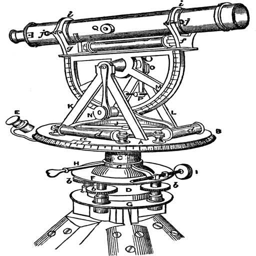
Topography
Georgios Graikousis
Measure surface area and convert coordinates.
The app converts coordinates to UTM EGSA87 Datum and calculates polygon area in square meters. It sends measurements via email in DXF, KML, or TXT file formats for use in various applications.


Scenic Map Eastern USA
Mark Granger
Explore 3D maps offline worldwide
Navigate using a 3D topographic map of the USA with offline access. View vector map data without internet. Use in vehicles or during hikes. Switch to global online maps with automatic caching for areas without coverage.


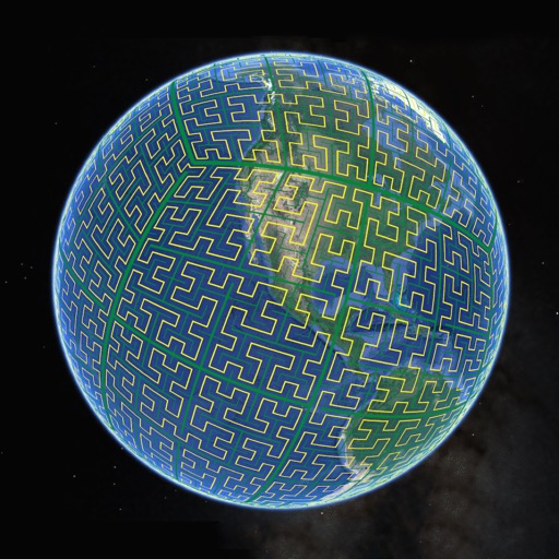
S2Cells Map
Simon Frost
View S2 cells and compare landmarks
Display S2 cell boundaries globally. View cell IDs and compare with real-world landmarks. Integrate with Ingress Intel Map to check portals and stops. Ensure new submissions align with cell boundaries.
PicPosition
YOURFULLSTACK, LLC
Capture and share location data with photos
Capture photos and overlay custom titles, MGRS grid, coordinates, UTC/local time, and altitude. Choose which data to include. Save images or share them via text.


How we rank alternatives
Apps are ranked by functional similarity, category fit, rating confidence, and popularity.