

Apps Like Theodolite for iPhone and iPad
Navigate with compass and map
Measure distances and angles using a rangefinder and inclinometer. View GPS coordinates and map overlays. Take geo-tagged photos and videos. Use a compass and navigation calculator for orientation and route planning.
Theodolite screenshots
Ranked alternatives
Showing 261–280 of 1,000 ranked alternatives.


Wheresit - Compass & AR Radar
Michael Geilich
Offline navigation with GPS and compass.
The app provides offline navigation using GPS and compass data. It features an augmented reality mode for overlaying target locations and a radar view to see nearby points of interest.


GPS Camera: Map and Time Stamp
Awais Mobeen
Capture photos with location data overlays
Capture photos and videos with GPS location, address, and sensor data overlays. Add map data to images. Share photos with precise location details. Edit and export captured media.


RT-Nav
Hilton's Fishing Charts, L.L.C.
Navigate on real-time imageries anywhere.
The app allows users to navigate using real-time imageries like sea surface temperatures and currents. It provides GPS location and point-to-point navigation on dynamic maps, even outside of cell range.
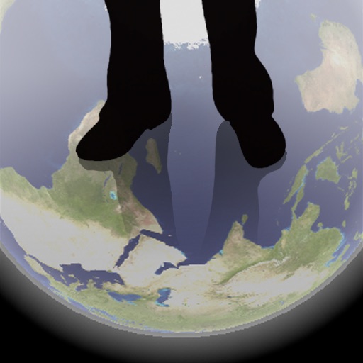
Transparent Earth -See the other side of the earth
Makoto Sato
See through the earth's surface.
The app shows a transparent view of the earth, allowing users to see the other side of the world beneath their feet. It displays the positions of major cities on a reversed blue marble through a camera overlay view.

Max Speed
On-Core Software LLC
Log speed, time, and distance.
The app logs a user's fastest speed, elapsed time, and distance. It can map a route traveled and export GPX files.

Viewfinder - Explore the World!
Igor Shtygashev
Explore the world through photos.
The app shows hundreds of photos from around the world. It places photo markers on an interactive map to show shooting points for sights and landmarks.



Tactical Navigator
Orange Clover LLC
Navigation for outdoor enthusiasts and military.
The app provides navigation tools for communications, operations, and outdoor planning. It includes a compass, multiple coordinate systems, weather conditions, and route calculation features.
How we rank alternatives
Apps are ranked by functional similarity, category fit, rating confidence, and popularity.