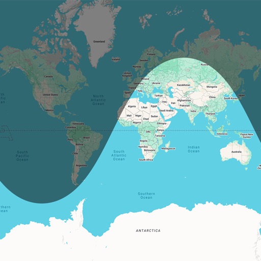
The app calculates sun elevation and tilt for equatorial mounts and azimuth and elevation for altazimuth mounts. It uses the device's internal accelerometer to determine surface orientation and can read the internal time or allow manual setting.
by michael coluzzi★ 4.02 ratingsUtilitiesFreeData updated 2026-09-12
Track location in real time without cellular service or WiFi. Start and stop tracking instantly without login. View maps, waypoints, and route history. Export data in multiple formats. Share tracks with others.
Allows users to browse , search locations, save favorites, and use turn-by-turn . Premium subscription enables traffic-aware routing, activity recording, offline , and elevation map views for terrain clarity.
Track elevation and climb rate in real-time. Calibrate altitude settings and check GPS accuracy. Send location links via SMS for easy sharing and navigation assistance. View maps in web browsers for location tracking.
Calculate solar radiation intensity using equations for pyranometers or quantum sensors. Estimate global shortwave radiation or photosynthetic photon flux density. Determine recalibration needs for radiation sensors based on location and time.
Change by dropping pins on a map. Edit GPS coordinates and add custom elevation data. Spoof with photo capture and share fake locations that appear real. Save unlimited custom spots and export as KML files.
Access real-time data including METAR, TAF, and NOTAM reports for 50,000+ airports. View satellite maps and decoded information. Filter nearby airports by runway length and METAR/VFR availability. Save favorites and organize into groups.