
iSystem
Zack Smith
Device information and statistics utility.
The app displays device and operating system details. It shows memory usage, location data with a map, and device orientation.

Sun tracking for solar apparatus mounts.
The app calculates sun elevation and tilt for equatorial mounts and azimuth and elevation for altazimuth mounts. It uses the device's internal accelerometer to determine surface orientation and can read the internal time or allow manual setting.
Showing 641–660 of 1,000 ranked alternatives.
Zack Smith
Device information and statistics utility.
The app displays device and operating system details. It shows memory usage, location data with a map, and device orientation.


NAPCO Security Technologies, Inc
Watch security camera live video feed.
The app allows users to view live video streams from Napco Security Technologies' cameras on their mobile devices. Remote pan, tilt, and recording commands are supported.


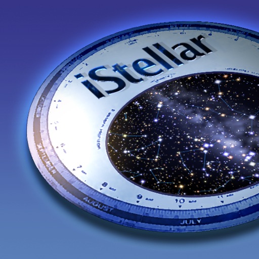
AstroArts Inc.
Explore stars, zoom, and navigate the sky
View the night sky from any location and time. Rotate and zoom the star chart using multi-touch gestures. Identify over 16,000 stars with names for 254. Simulate atmospheric distortion and twinkling effects.

homedatasheet.com, Inc.
Real-time elevation and ground data.
The app displays real-time elevation using the device's GPS receiver and geoid model. It also shows ground elevation from web services and includes a real-time map with spot elevation data.
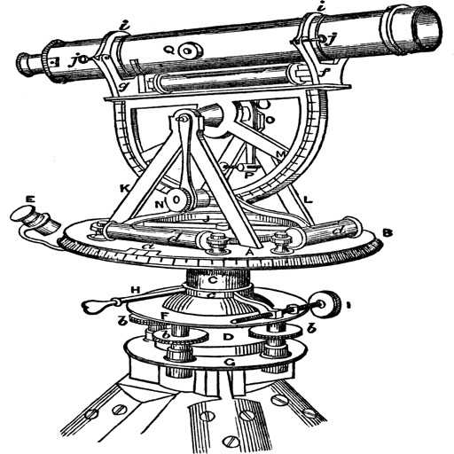
Georgios Graikousis
Measure surface area and convert coordinates.
The app converts coordinates to UTM EGSA87 Datum and calculates polygon area in square meters. It sends measurements via email in DXF, KML, or TXT file formats for use in various applications.





Alfred Cabrera
Record routes and share clean drive pages
Record driving routes with GPS tracking of distance, speed, and elevation. Replay trips, organize them in a Garage, and generate shareable links for private or public access.


Toonsy Net
Find airports with essential data.
The app provides a heads-up display of airports and essential information, including distance, bearing, elevation, and runway length. Users can filter results for paved runways over 10,000 feet.

Apps are ranked by functional similarity, category fit, rating confidence, and popularity.