

Apps Like SunTrack for iPhone and iPad
Sun tracking for solar apparatus mounts.
The app calculates sun elevation and tilt for equatorial mounts and azimuth and elevation for altazimuth mounts. It uses the device's internal accelerometer to determine surface orientation and can read the internal time or allow manual setting.
SunTrack screenshots
Ranked alternatives
Showing 441–460 of 1,000 ranked alternatives.

GPS Altimeter & Barometer
Mobile Card Games & Travel Apps LLC
Check elevation and track altitude
Monitor elevation with a large, clear display that adjusts to your device. Choose between GPS or barometric sensors. Track real-time elevation changes. View barometric pressure in multiple units. Display accuracy details visually.

Military Compass+ Lite
Elen Bekzadyan
Track orientation with real-time compass data
Provides real-time device orientation based on magnetic fields. Allows switching between true and magnetic north. Displays compass direction and azimuth. Includes declination information. Offers tilt sensitivity settings.


Topo Maps Canada
DC Cloud Apps, LLC
Download and view topography
View topographic of for hiking, camping, and outdoor activities. Choose between Base Map and Toporama sources. Download for offline use. Track location, elevation, and movement on the map.

Pipe Flow Liquid Pipe Diameter
Daxesoft Ltd
Calculate for rate and pressure loss
Calculate minimum internal based on rate and maximum pressure loss. Input elevation changes and select valves and fittings. Display Reynolds number and friction factor. Export results in various formats.

Snowtam
Brendan Wholihan
Cold weather tools for pilots.
The app decodes SNOWTAM and MOTNE reports, providing quick access to runway conditions and notification fields. It also calculates cold temperature altitude adjustments using a formula based on Transport Canada's chart.


GK Field Mapper
GK Technology, Inc.
Track GPS locations and visualize maps
Survey points, lines, and polygons with GPS tracking. Log full GPS data for fields. Create quickmarks during surveys. Visualize data in map view. Use internal or external GPS devices.

GPS Stone (GPX Trip Recorder)
Francois Lamboley
Track trips and export GPX files
Track trips with real-time GPS data including speed, position, distance, elevation, and map display. Record details and export GPX files for review in Google Earth. Sync data to a computer for geo-tagging and management.


KWeye+
Guangzhou Kedi Intelligence Technology Co., Ltd.
View and control live video streams.
The app provides live video stream viewing and control for iPhone users. It supports multi-channel video encoders, authentication, and Pan, Tilt, & Zoom control.

Distance Lite
Piet Jonas
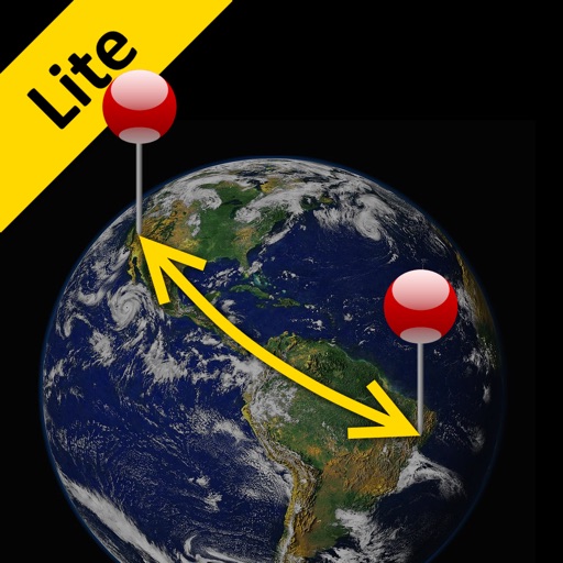
Distance and direction between any places.
The app calculates the shortest distance or distance with a constant bearing between two locations. Users can select current location, enter coordinates, or choose from a database.


How we rank alternatives
Apps are ranked by functional similarity, category fit, rating confidence, and popularity.