Navigate using built-in GPS for sailing and cruising. View real-time data from NMEA0183 and AIS sources. Plot courses and track positions. Access tactical information for regattas. Adjust settings for different sailing conditions.
by Zifigo★ 4.18 ratingsSports$19.99Data updated 2026-10-15
Plan activities at sea with real-time coastal weather data. View daily and monthly tide charts, tidal coefficients, and water levels. Track swell height, wave direction, and surf tables.
Find with interactive and depth charts. Check forecasts and track catches. Save locations and view detailed water information. Share catches and locations with other anglers. Set alerts for weather and tide changes.
Calculate -related conversions, fuel consumption, and navigation metrics. Perform arithmetic operations and unit conversions. Track time, distance, and speed. Sync with Apple Watch for real-time updates.
Track performance with detailed summaries of workouts, including heart rate and calories burned. Customize watchfaces with mechanical and digital styles, preview strap combinations, and access curated collections.
Add GPS data including date, time, latitude, longitude, altitude, weather, and compass to . Share geotagged images with friends to show travel locations. Track live location and embed it into captured .
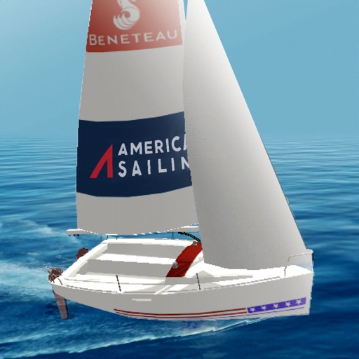
Learn fundamentals through six interactive modules covering Points of Sail, Apparent Wind, Sail Trim, Tacking and Jibing, Rules of the Road, and Docking. Practice skills in a timed course simulation to apply knowledge in a realistic environment.
Track paddling sessions with detailed data including distance, speed, and calories burned. Log workouts and set goals. Share real-time location with loved ones. Receive safety alerts and connect with other paddlers.
Track speed and distance in miles and kilometers. Monitor real-time speed and display maximum and average speeds. Check speed limits and receive warnings for speed and red light cameras. Access offline maps and view weather conditions.
Access nautical charts, view tide predictions, and check weather forecasts. Locate marinas, fuel stations, and points of interest. Share real-time updates and connect with other boaters for navigation tips and safety alerts.
Display current location and customizable info on large text screens. Create waypoints using location, crosshairs, or coordinates. Organize waypoints into overlays and navigate to them with arrows or maps. Track movement and view location details.
View and convert geographic across multiple formats and datums. Manage locations with an intuitive interface. Display current location at the intersection of two grey lines. Export in various global systems.
GPS tracks current speed, distance, and altitude. Displays average and maximum speed. Shows speed limits in real time. Supports mph, km/h, and knots. Measures travel time and battery level. Works offline.
Track shots automatically with GPS data for over 40,000 courses. Receive precise distances to greens, hazards, and tees. Get club recommendations and statistical analysis to improve performance.
Track routes, find waypoints, and navigate offline
Navigate outdoors with offline GPS maps and real-time augmented reality. Track waypoints and custom locations. Use a gyrocompass, speedometer, altimeter, and inclinometer. Find celestial bodies and measure angles.
Allow users to explore locations without an internet connection. They include detailed global with millions of points of interest. Users can download for use and bookmark favorite locations. GPS tracking enables recording of travel routes.
Track shots and measure distances using GPS. Analyze swings and putts with built-in sensors. Access 3D maps and hole flyovers on phone. Use as a standalone on Apple Watch without needing a phone.
View and download NOAA electronic navigational for offline use. Access in NOAA or ECDIS formats. Overlay NOAA weather for real-time conditions. Display buoys, beacons, lights, and natural/man-made features. Track radar and fog signals.
Track routes and save photos or videos taken during trips. Share live with friends. View real-time bearing and distance to waypoints. Join regattas and see racecourses. Monitor progress and save media alongside data.