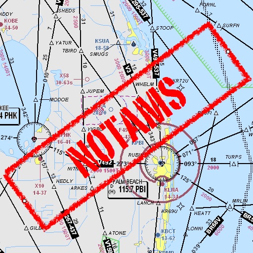
Assists pilots with interpreting NOTAMs, METARs, TAFs, and Area Forecasts. It decodes acronyms and contractions for both inflight and ground use. Users can search for details and weather reports.
by Mark Bateman★ 4.02 ratingsNavigation$0.99Data updated 2026-10-11
View nautical charts in S-57, S-63, iENC, and BSB/KAP formats. Use external NMEA/AIS data over WiFi. Display official HO S-57/S-6 charts. Navigate river, channel, and harbor routes. Access real-time positioning and vessel tracking data.
Convert Jet A or 100LL between US gallons, pounds, liters, and kilograms. Enter type, units, remaining amount, and desired amount for accurate conversion. Adjust and save specific gravity and conversion factors.
Allows users to read and write NFC tags. It provides a history view with entries filtered by read, written, drafts, or favorites. Tapping an entry shows details like serial number and data.
Decode aviation NOTAMs by entering Q- letters. Display associated subject, component, and condition codes. Provide detailed information for flight planning and safety.
The app calculates sunrise and sunset times during flight. It manages timings for prayers and fasting, providing predictions along the shortest route corrected by flight altitude.
Track paths and monitor aircraft positions in real time. View weather data and airspace restrictions. Access preloaded charts and navigate without an internet connection. Set alerts and receive notifications for potential hazards.
Access a private website requiring user authentication for Fedex Express pilots. Cache and display calendar data locally. View and manage flight schedules and trip information. Perform one-handed operations for easy use while driving.
View satellite maps of Europe with overlaid Flight Information Region boundaries. Tap to identify FIRs and their identifiers. Track real-time GPS location and see current FIR boundaries.
The app computes heading corrections and ground speed. It aids navigation and diversion techniques for pilots by displaying groundspeed and correction angles around a compass rose.
Access procedures, track flights, and navigate globally
Access international procedures and aviation resources for pilots. View electronic plotting charts, navigate global routes, and reference cockpit guidelines. Download updates and manage flight data securely.