The app records and exports user trips for geo-tagging or trip management. It displays live paths on a map and provides details like speed, distance, and altitude.
by Francois Lamboley★ 3.67 ratingsNavigationFreeData updated 2026-09-11
Book a taxi quickly with a passwordless registration. Log in using a business account to automate expenses. Estimate trip costs beforehand. View driver and vehicle details, track arrival on a map, and schedule future rides.
Navigation provides accurate GPS navigation with real-time traffic updates. Records trips using smartphone camera. Offers optional in-cabin recording for pro drivers. Generates instant reports with trip details and video footage.
The app records GPS track data for power boating, including direction, speed, and time. Friends can remotely follow trips in real-time and review tracks, speed, and direction.
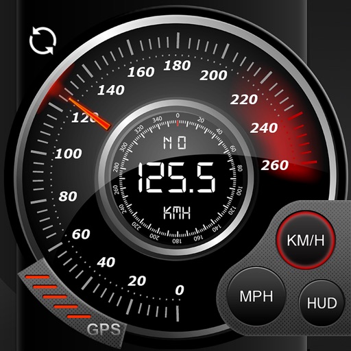
Trips with modes for walking, , and biking. View speed, distance, and elevation via GPS. Use HUD mode to display speed on the windshield. Monitor odometer and altimeter readings. Export trip data and set distance alerts.
Track vehicle locations in real time and view location history for trips. Set and monitor geofences. Receive alerts for vehicle movements. Access data from multiple tracking services including S.A., SkyData Panama, and MexTrack.
Drivers can view and accept trip assignments, update trip status, and share payment details. Dispatchers track trips in real time via GPS. Customers receive tracking links to monitor shipments.
Measure for walking, jogging, cycling, driving, sailing, and flying. Display in metric or imperial units. Switch between units and view dual scale readings.
Track , distance, and max with a digital . View current city and switch between MPH, KM/H, and knots. Log average and max . Display map view and odometer readings.
GPS displays speed, altitude, and track data with real-time profiles. Logs activity in sleep or background mode. Stores recorded tracks for analysis and map display. Shares tracks across devices via iCloud.
Record data including , average , distance, altitude, and elapsed time. View real-time GPS tracking with longitude and latitude. Monitor statistics and save history. Sync with devices for offline navigation.
The app records car trips using GPS tracking and video capture. Videos include speedometer, map, and live audio, exportable to the photo library or viewable within the app.