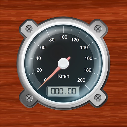
The app records and exports user trips for geo-tagging or trip management. It displays live paths on a map and provides details like speed, distance, and altitude.
by Francois Lamboley★ 3.67 ratingsNavigationFreeData updated 2026-09-11
Track with high-precision GPS. Record trips and display real-time data on a head-up display. Receive speeding alerts. Navigate with integrated map support. distance, time, and elevation. Share trip data.
Tracks location, speed, altitude, heading, acceleration, g-force, and atmospheric pressure. Retrieves and displays current weather data. Records tracks up to 10 minutes or 10 kilometers. Plays back tracks at multiple speeds.
Displays speed and distance using GPS. Tracks maximum speed with vibration alerts. Shows position and time of maximum speed on a map. Switches between light and dark modes. Notifies of GPS measurement errors. Supports motorcycles, cars, and planes.
Log trips with real-time speed, direction, and distance tracking. Store past journeys for review. Export trip data as GPX, KML, or GeoJSON for use in other applications.
Calculate altitude using GPS, ASTER, or barometer (iPhone 6 and later). Display average altitude from GPS and ASTER data. Show peaks, compass, and distance grid on an integrated map. Support Apple Watch. Choose unit of measurement.
The app tracks trips and exports data in gpx and kmz formats. It synchronizes local tracking data with a configurable OpenGTS server for fleet tracking.
Track speed in MPH and KMH with GPS. Monitor trip distance and travel time in real-time. View data on a high-contrast display suitable for day and night use. Includes a low-light mode for improved visibility during nighttime driving.
Track altitude, elevation, and GPS coordinates. Monitor speed in km/h or mph. View compass direction. Check GPS signal quality. Log location for outdoor activities like running, mountaineering, or traveling.
Track vehicle speed with a digital speedometer showing current, average, maximum speed, and total distance. Use offline mode for uninterrupted performance. Access two HUD modes for windshield display. Choose from 10 themes for customization.
Display speed limits and alert for overspeeding. Show speed camera locations and distance. Provide average and maximum speed tracking. Include odometer and unit selection for KMH/MPH. Display current road name, weather conditions, and temperature.
Track and distance in miles and kilometers with real-time updates. Switch between KM/H and MPH modes. Display average and maximum . Show altitude and compass. Monitor GPS signal accuracy. Use analog . Work offline without internet.
Plan trips with offroad and trail data. Access offline GPS navigation and camping locations. Find fuel and water resupply points. Connect with local users and join events. Track routes and share trip details.
Track location, speed, and altitude with real-time GPS data. Use a digital compass for direction. Access weather information and tag locations. Share coordinates and view maps.
Track GPS and GLONASS satellite data including position, accuracy, speed, altitude, and orientation. Save and navigate to locations using coordinates or real-time data. Use a compass with magnetic and true north, a leveling tool, and waypoints.