The app records and exports user trips for geo-tagging or trip management. It displays live paths on a map and provides details like speed, distance, and altitude.
by Francois Lamboley★ 3.67 ratingsNavigationFreeData updated 2026-09-11
Book taxi rides quickly with instant booking and priority service. View driver and vehicle details, track arrival on a map, and estimate trip costs. Schedule future trips and manage expenses through a business account. Register without a password.
The app provides navigation for outdoor activities, allowing users to view their location in UTM or Lat/Lon. It supports recording and returning to waypoints, track logs, and exporting data to KML, GPX, or CSV files.
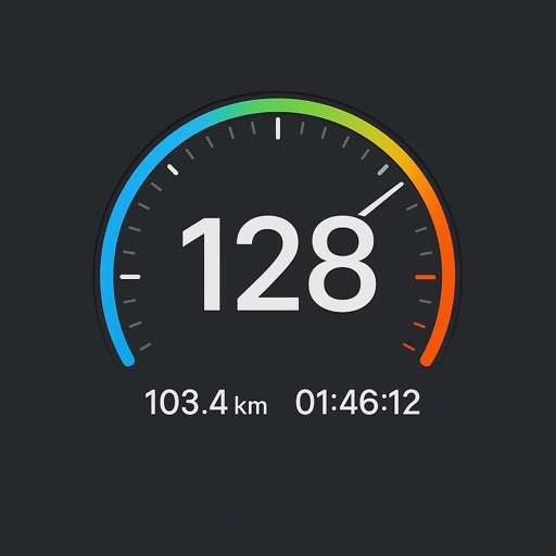
Monitor speed and distance with real-time GPS tracking. Switch between car and bike cyclometer. View average and max speed. Adjust units to mph or km/h. Check GPS accuracy and distance precision. Track time elapsed and altitude.
Business "View all tasks with map visualization and completion order. Receive real-time task status updates. Assign tasks via drag-and-drop in management or calendar view. Optimize driving routes to reduce time and distance."
View topographic of for hiking, camping, and outdoor activities. Choose between Base Map and Toporama sources. Download for offline use. Track location, elevation, and movement on the map.
Logs vehicle journeys and organizes records with route type classifications. Tracks real-time GPS location and displays traveled routes on an interactive map. Shows route history with timestamps and distance markers.