Complete maritime navigation regulations reference.
The app provides the International Regulations for Preventing Collisions at Sea, 1972, and Inland Navigation Rules. It features an annotated table of contents, a search function, and a selected page for quick access to rules.
by Calculated Industries, Inc.★ 4.8389 ratingsReference$3.99Data updated 2026-11-13
Find and plan trips with real-time water condition updates. Search for lakes, rivers, and kayak parks. Set trip dates and receive weather forecasts. Track progress and save favorite locations. Share routes and access safety tips.
Navigation provides functionality for directional guidance. Displays current direction and . Tracks movement and offers map integration for route planning. Allows users to set waypoints and navigate between locations.
The app provides hunting, fishing, and boating regulations. It includes season dates, limits, and means restrictions for hunting, and bag and length limits for fishing.
Find locations using GPS. Get turn-by-turn voice with real-time traffic updates. Track routes and receive driving directions. View for any destination. Enable safer and faster travel with tracking and features.
Find routes and get turn-by-turn . View current location and nearby places. Receive directions for accurate destination arrival. Display maps with real-time location tracking. Show nearby points of interest.
Access hymns anytime instrumental playback and zoom functionality. Add favorites and search by number, title, lyrics, or use table of contents and alphabetical index. Support dark mode, notification-based player, and history list.
Navigate with real-time warnings and emergency SOS features. Access 35,000+ marinas and anchorages with detailed information. View 350,000 community photos and reviews. Book in 700+ marinas across Europe. Chat with users and marinas in-.
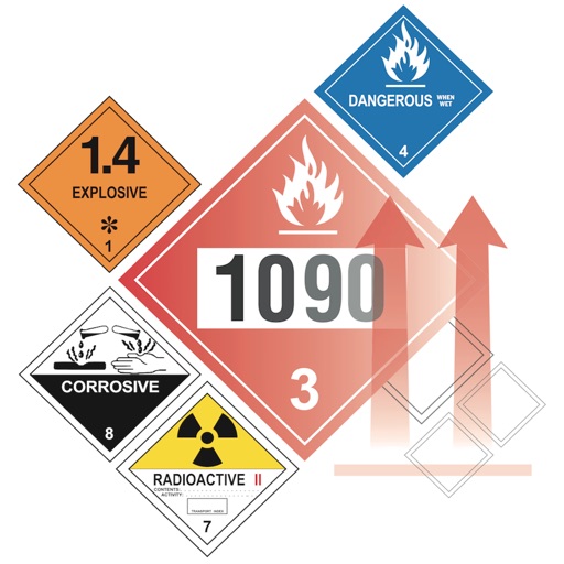
Access hazard material compatibility data from CFR 49 §177.848 and IATA DG regulations. Look up rules for hazardous materials. Check compatibility of Class 1 explosives. Determine safe storage and transport combinations.
Access digital nautical for offline use. View comprehensive harbour details and features. Compatible with NV paper . Supports North Sea, Baltic Sea, Netherlands, Wadden Sea, and Ijsselmeer regions.
Identify and interpret navigation , shapes, and sounds used on water. Search for exact or possible matches using a "Draw-What-You-See" interface. Access a comprehensive database of maritime signals.
Learn and test knowledge of navigation rules with interactive quizzes and detailed explanations. Filter questions by category and difficulty. Track progress with performance analytics and proficiency reports.
Display True North or Magnetic North directions. Show rose with customizable colors and designs. Accurately navigate globally with GPS support. Track movement and orientation during outdoor activities.
The app displays federal land boundaries for various US agencies, including BLM, FS, and NPS. Users can select map layers, view land ownership, and access agency websites for rules and regulations.
Plan and navigate using an interactive moving map with aeronautical charts, satellite, or vector map backgrounds. View real-time flight data, track position, and adjust routes. Access up-to-date weather and airspace information.
The app provides illustrations and explanations for navigation rules and signals. It helps users understand vessel interactions and collision prevention, offering quizzes for knowledge testing.
Navigate using real-time GPS and map data. Mark and save locations. Track movement and speed. Share coordinates with others. Use offline maps for areas with limited connectivity. Set waypoints and receive turn-by-turn directions.
Access legal texts including the US Constitution, Federal Rules, and Code of Federal Regulations. Search and bookmark sections. Download laws and rules for offline use. Sync across devices.