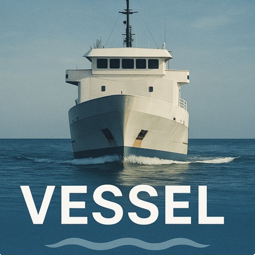
The app provides marine weather forecasts and crowdsourced wind maps. It offers features for all boat types, including route viewing and offline map usage.
by SailTimer Inc.★ 1.76 ratingsNavigationFreeData updated 2026-09-11
Plan trips to parks with downloadable and guides. Access 45+ parks, 190+ from government agencies, and 1,600+ campgrounds. View trails, motor vehicle , and visitor information. Navigate without Wi-Fi in wilderness areas.
View real-time data for airports including METAR, TAF, NOTAM, WINDS ALOFT, and forecasts. Access ICAO and IATA codes, coordinates, and sunrise/sunset times. Manage favorite airports, search by location or code, and display all airports on a map.
Explore trails, track routes, and navigate outdoors
Plan outdoor activities with 3D terrain views of hills, mountains, and valleys. Navigate footpaths and track elevation changes. Save and share custom routes. Sync with fitness apps for activity logging.
Set alarms using Siri Shortcuts or voice commands. Choose alarm type based on position, bearing, distance, or coordinates. Access widgets on iOS14 Home Screen. Switch between day and night themes and metric or imperial units.
Plan trips to parks with downloadable and guides. Access 400+ parks, 340+ folded from various agencies, and 5,000+ campgrounds. View MVUM, MVTM, and visitor for national forests.
Plan trips to parks with downloadable and guides. Access 60+ parks, 200+ from government agencies, and 400+ campgrounds. View 800+ trails and motor vehicle use for navigation in Wi-Fi free areas.
Plan and track outdoor routes with 3D terrain views. Measure elevation changes and distance. Save and share custom trails. Access real-time GPS navigation and offline maps. Adjust routes based on elevation and difficulty.
Track boats and ships in real time using a map. Identify vessels by pointing your camera at them. Receive alerts when tracked vessels depart or arrive. View vessel details and movement history. Share tracked vessels with others.