Provides location-based for road trips. Guides users to points of interest, suggests side trips, and offers local tips. Includes historical, geological, and cultural information. Automatically plays commentary based on location and direction.
Add GPS data including date, time, latitude, longitude, altitude, weather, and compass to . Share geotagged images with friends to show travel locations. Track live location and embed it into captured .
Navigate using weekly updated nautical charts from NOAA. Plan routes manually or automatically. Record GPS tracks and store navigation data including markers and routes. Share data with others. Display tides and currents.
Find locations and points of interest with detailed search. Navigate using turn-by-turn directions for driving, motorcycle, and public transport. Support Apple CarPlay and multi-mode routing. Track real-time traffic and road conditions.
Track cycling performance with real-time data including distance, duration, calories burned, speed, and elevation. View details on interactive maps. Set and monitor fitness goals. Sync data with health apps for comprehensive tracking.
Track elevation and atmospheric pressure with and barometer. Use compass for direction based on satellite location. Access weather updates and speedometer. Log steps with pedometer. View maps and use binoculars for scouting.
Provide accurate GPS coordinates and altitude readings. Display direction and map integration. Enable location-based reminders and track movement routes. Adjust settings for different navigation modes.
Track sessions with real-time GPS data including speed, average speed, distance, and elevation. Monitor heart rate and cadence. Save routes, analyze performance metrics, and sync data with fitness platforms.
Display current speed using GPS and show speed limits via online checks. Alert when exceeding speed limits. Track weather, temperature, odometer, altitude, and average/max speed.
Measure geographical orientation with a precise . Display longitude, latitude, altitude, weather, and magnetic field data. Record location points and view saved travel history.
Track location, altitude, direction, and geographic coordinates on a map. View detailed with altitude changes. Share photos with location details including coordinates and address.
Track speed using GPS for driving, cycling, motorcycles, and flying. Monitor speed in both landscape and portrait modes. Share maximum speed and GPS coordinates with friends. Use the on-board computer feature for real-time data.
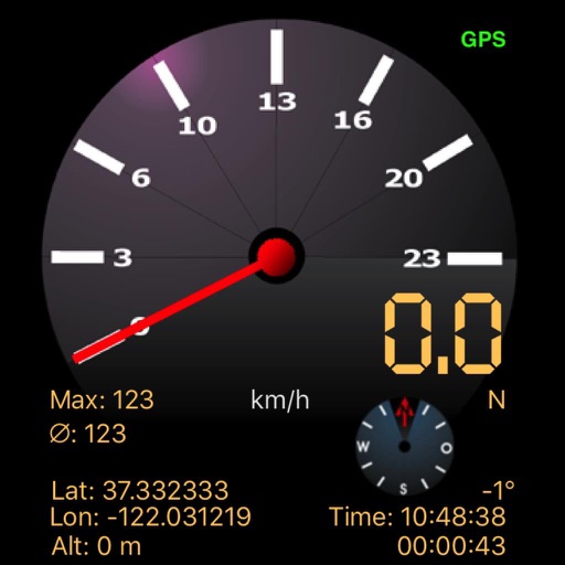
Track speed using iPhone's GPS. Display speed in mph or km/h based on region settings. Show max and average speed. Choose between digital and analog display styles. Monitor speed during car, bike, running, or riding activities.
Track vehicle speed with a digital speedometer showing current, average, maximum speed, and total distance. Use offline mode for uninterrupted performance. Access two HUD modes for windshield display. Choose from 10 themes for customization.
Determine location using GPS and MGRS coordinates. Display latitude, longitude, and altitude. Show 16 main directions. Operate offline. Suitable for camping and outdoor navigation.
Navigate using a or true . Set direction references and adjust settings. Track altitude and barometric pressure changes. Measure electrical fields with the teslameter. Use the flashlight and Morse code transmitter for signaling.
GPS measures and displays speed for walking, jogging, cycling, cars, boats, trains, and airplanes. Users can select display units and choose between two scales. Trip recording and average speed tracking are available.